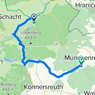
Grenzweg Deutschland_Tschechien
A cycling route starting in Schirnding, Bavaria, Germany.
Overview
About this route
2 Tagestour an der Grenze Deutschland zu Tschechien
- -:--
- Duration
- 158.3 km
- Distance
- 1,049 m
- Ascent
- 1,106 m
- Descent
- ---
- Avg. speed
- ---
- Avg. speed
Route quality
Waytypes & surfaces along the route
Waytypes
Road
72.9 km
(46 %)
Quiet road
27.9 km
(18 %)
Surfaces
Paved
35.2 km
(22 %)
Unpaved
8 km
(5 %)
Asphalt
30.8 km
(19 %)
Gravel
4.2 km
(3 %)
Continue with Bikemap
Use, edit, or download this cycling route
You would like to ride Grenzweg Deutschland_Tschechien or customize it for your own trip? Here is what you can do with this Bikemap route:
Free features
- Save this route as favorite or in collections
- Copy & plan your own version of this route
- Sync your route with Garmin or Wahoo
Premium features
Free trial for 3 days, or one-time payment. More about Bikemap Premium.
- Navigate this route on iOS & Android
- Export a GPX / KML file of this route
- Create your custom printout (try it for free)
- Download this route for offline navigation
Discover more Premium features.
Get Bikemap PremiumFrom our community
Other popular routes starting in Schirnding
- Grenzweg Deutschland_Tschechien
- Distance
- 158.3 km
- Ascent
- 1,049 m
- Descent
- 1,106 m
- Location
- Schirnding, Bavaria, Germany
- Schirnding nach Arzberg
- Distance
- 4.1 km
- Ascent
- 37 m
- Descent
- 9 m
- Location
- Schirnding, Bavaria, Germany
- Czech 2
- Distance
- 145.8 km
- Ascent
- 2,418 m
- Descent
- 2,464 m
- Location
- Schirnding, Bavaria, Germany
- Wellertalrunde
- Distance
- 34.1 km
- Ascent
- 316 m
- Descent
- 306 m
- Location
- Schirnding, Bavaria, Germany
- 2019
- Distance
- 818.8 km
- Ascent
- 1,516 m
- Descent
- 1,450 m
- Location
- Schirnding, Bavaria, Germany
- 3 Schirnding-- Erbendorf 50 Km Bahnhof Schirnding
- Distance
- 48.4 km
- Ascent
- 328 m
- Descent
- 280 m
- Location
- Schirnding, Bavaria, Germany
- Egerstausee Kraftwerk Hirschsprung Runde ab Schirnding
- Distance
- 34.5 km
- Ascent
- 497 m
- Descent
- 495 m
- Location
- Schirnding, Bavaria, Germany
- Schirnding-Ellbogen und zurück
- Distance
- 96 km
- Ascent
- 462 m
- Descent
- 462 m
- Location
- Schirnding, Bavaria, Germany
Open it in the app