

Fall Creek Ride 6/18/15
A cycling route starting in Broad Ripple, Indiana, United States.
Overview
About this route
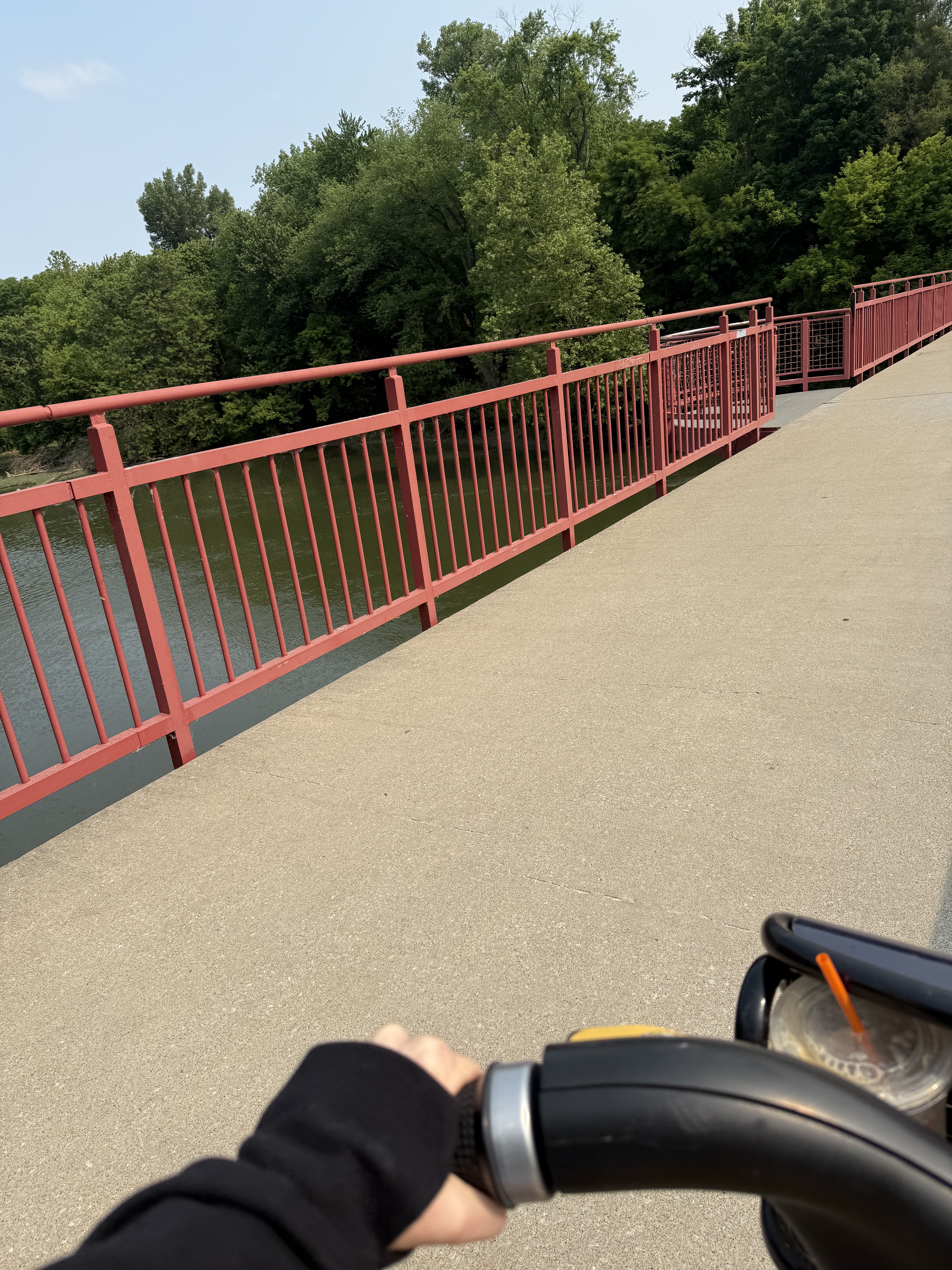
Butler to Monon to Fall Creek Parkway and back
- -:--
- Duration
- 7.8 km
- Distance
- 14 m
- Ascent
- 21 m
- Descent
- ---
- Avg. speed
- ---
- Max. altitude
Route quality
Waytypes & surfaces along the route
Waytypes
Cycleway
3.8 km
(49 %)
Quiet road
2.2 km
(28 %)
Surfaces
Paved
6.3 km
(81 %)
Asphalt
6.2 km
(80 %)
Concrete
0.1 km
(1 %)
Undefined
1.5 km
(19 %)
Continue with Bikemap
Use, edit, or download this cycling route
You would like to ride Fall Creek Ride 6/18/15 or customize it for your own trip? Here is what you can do with this Bikemap route:
Free features
- Save this route as favorite or in collections
- Copy & plan your own version of this route
- Sync your route with Garmin or Wahoo
Premium features
Free trial for 3 days, or one-time payment. More about Bikemap Premium.
- Navigate this route on iOS & Android
- Export a GPX / KML file of this route
- Create your custom printout (try it for free)
- Download this route for offline navigation
Discover more Premium features.
Get Bikemap PremiumFrom our community
Other popular routes starting in Broad Ripple
 101–143 W 49th St, Indianapolis to 4907 N Kenwood Ave, Indianapolis
- Distance
- 334.8 km
- Ascent
- 0 m
- Descent
- 0 m
- Location
- Broad Ripple, Indiana, United States
 Monon Carmel 10
- Distance
- 16 km
- Ascent
- 58 m
- Descent
- 56 m
- Location
- Broad Ripple, Indiana, United States
 Restful route in Indianapolis
- Distance
- 8.1 km
- Ascent
- 88 m
- Descent
- 95 m
- Location
- Broad Ripple, Indiana, United States
 Butler Route
- Distance
- 33.4 km
- Ascent
- 83 m
- Descent
- 82 m
- Location
- Broad Ripple, Indiana, United States
 Monon Trail, Indianapolis to Monon Trail, Indianapolis
- Distance
- 11.7 km
- Ascent
- 51 m
- Descent
- 48 m
- Location
- Broad Ripple, Indiana, United States
 Work
Work- Distance
- 8.1 km
- Ascent
- 32 m
- Descent
- 31 m
- Location
- Broad Ripple, Indiana, United States
 Orchard Route2
- Distance
- 8.8 km
- Ascent
- 49 m
- Descent
- 29 m
- Location
- Broad Ripple, Indiana, United States
 Home to Work
- Distance
- 8.5 km
- Ascent
- 11 m
- Descent
- 20 m
- Location
- Broad Ripple, Indiana, United States
Open it in the app