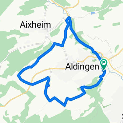
50 Km Tour
- 49.8 km
- 425 m
- 425 m
- Aldingen, Baden-Wurttemberg, Germany
A cycling route starting in Aldingen, Baden-Wurttemberg, Germany.
Overview
TEASI track
created this 10 years ago
Route quality
Road
2.9 km
(38 %)
Track
2.4 km
(32 %)
Paved
5.7 km
(74 %)
Asphalt
5.5 km
(72 %)
Paved (undefined)
0.2 km
(2 %)
Undefined
2 km
(26 %)
Route highlights
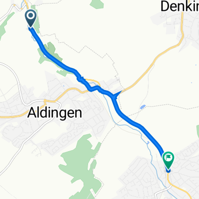
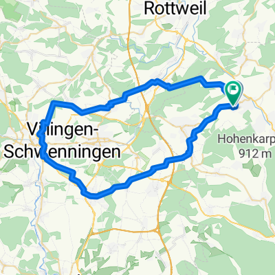
N48°06'35.65" E8°40'20.13"
N48°04'25.34" E8°37'52.98"
Continue with Bikemap
You would like to ride 20150621_175328.gpx or customize it for your own trip? Here is what you can do with this Bikemap route:
Free trial for 3 days, or one-time payment. More about Bikemap Premium.
Discover more Premium features.
Get Bikemap PremiumFrom our community
Open it in the app