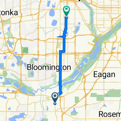
B2B00496 55337>55102 via Hwy 13, Bg Rvr Trl, Watter St
- 23.9 km
- 180 m
- 239 m
- Burnsville, Minnesota, United States
A cycling route starting in Burnsville, Minnesota, United States.
Overview
Hello
Route quality
Cycleway
16.8 km
(51 %)
Road
9.2 km
(28 %)
Paved
20.7 km
(63 %)
Unpaved
0.3 km
(1 %)
Paved (undefined)
10.2 km
(31 %)
Asphalt
10.2 km
(31 %)
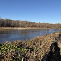
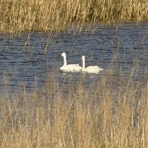
Route highlights
Stop for coffee break
Continue with Bikemap
You would like to ride Awesome training ride or customize it for your own trip? Here is what you can do with this Bikemap route:
Free trial for 3 days, or one-time payment. More about Bikemap Premium.
Discover more Premium features.
Get Bikemap PremiumFrom our community
Open it in the app