Le Colombier, Iguerande naar Chez Jean, Le Breuil
- 48.2 km
- 682 m
- 616 m
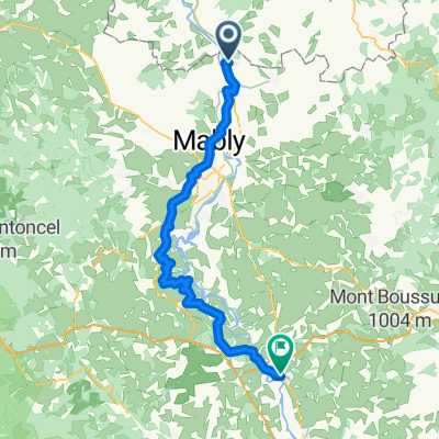
- Briennon, Auvergne-Rhône-Alpes, France
A cycling route starting in Briennon, Auvergne-Rhône-Alpes, France.
Overview
cool down
created this 10 years ago
Route quality
Road
39.2 km
(33 %)
Quiet road
22.5 km
(19 %)
Paved
36.8 km
(31 %)
Unpaved
1.2 km
(1 %)
Asphalt
36.8 km
(31 %)
Gravel
1.2 km
(1 %)
Undefined
80.7 km
(68 %)
Route highlights
Mittagspause
Continue with Bikemap
You would like to ride Briennon - Decize or customize it for your own trip? Here is what you can do with this Bikemap route:
Free trial for 3 days, or one-time payment. More about Bikemap Premium.
Discover more Premium features.
Get Bikemap PremiumFrom our community
Open it in the app