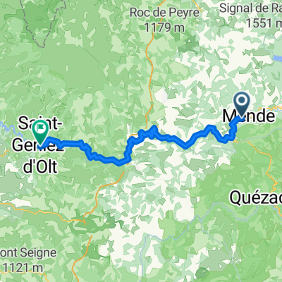
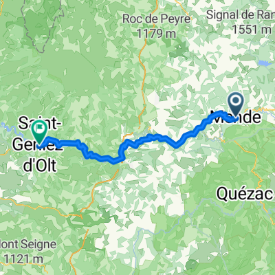
Tour 2010 (2)
- 116.8 km
- 2,175 m
- 2,061 m
- Mende, Occitanie, France
A cycling route starting in Mende, Occitanie, France.
Overview
Starting from Ferle Amarger at Giraldès, a gallop passing by Lake Charpal, Lauert, Larzalier, Château du Tournel, Bagnol, the ridges of Mont Lozère, returning via Chadenet, Lake Charpal.
created this 10 years ago
Continue with Bikemap
You would like to ride Ferme Amarger,Charpal,crêtes du mont Lozere,retour or customize it for your own trip? Here is what you can do with this Bikemap route:
Free trial for 3 days, or one-time payment. More about Bikemap Premium.
Discover more Premium features.
Get Bikemap PremiumFrom our community
Open it in the app