
Creux du Van
A cycling route starting in Bevaix, Canton of Neuchâtel, Switzerland.
Overview
About this route
Mountain bike tour: This tour primarily thrives on the impressive rock amphitheater Creux du Van, which appears 'Grand Canyon-like': in a half-circle nearly 2 km long, the upper edge of the amphitheater is formed by nearly vertical rock walls with a drop height of about 150 meters. Shortly after the Boudry station, we cross the Areuse river, through whose gorge the first climb of about 400 meters takes place; then it becomes relatively flat until just before Ferme Robert, from where we can admire the amphitheater from below during a rest. Now follows the ascent almost to the top, where we earn another break at the restaurant La Grand Vy; the height is practically achieved. Then we continue across pastureland to the cliff edge, which we admired earlier from below - caution is advised on this narrow trail...
- -:--
- Duration
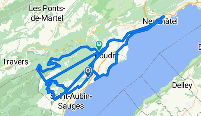
- 67 km
- Distance
- 71 m
- Ascent
- 147 m
- Descent
- ---
- Avg. speed
- ---
- Max. altitude

Continue with Bikemap
Use, edit, or download this cycling route
You would like to ride Creux du Van or customize it for your own trip? Here is what you can do with this Bikemap route:
Free features
- Save this route as favorite or in collections
- Copy & plan your own version of this route
- Sync your route with Garmin or Wahoo
Premium features
Free trial for 3 days, or one-time payment. More about Bikemap Premium.
- Navigate this route on iOS & Android
- Export a GPX / KML file of this route
- Create your custom printout (try it for free)
- Download this route for offline navigation
Discover more Premium features.
Get Bikemap PremiumFrom our community
Other popular routes starting in Bevaix
 Itinéraire à partir de Chemin des Pommiers 35E, Bevaix
- Distance
- 13.6 km
- Ascent
- 316 m
- Descent
- 322 m
- Location
- Bevaix, Canton of Neuchâtel, Switzerland
 4. Bevaix - Lausanne
- Distance
- 63.5 km
- Ascent
- 666 m
- Descent
- 757 m
- Location
- Bevaix, Canton of Neuchâtel, Switzerland
 La Gd Vy
- Distance
- 8.7 km
- Ascent
- 845 m
- Descent
- 0 m
- Location
- Bevaix, Canton of Neuchâtel, Switzerland
 Recovered Route
- Distance
- 16.6 km
- Ascent
- 137 m
- Descent
- 244 m
- Location
- Bevaix, Canton of Neuchâtel, Switzerland
 Creux du Van
- Distance
- 67 km
- Ascent
- 71 m
- Descent
- 147 m
- Location
- Bevaix, Canton of Neuchâtel, Switzerland
 Bevaix - Le Soliat - Bevaix
- Distance
- 34.4 km
- Ascent
- 1,006 m
- Descent
- 1,015 m
- Location
- Bevaix, Canton of Neuchâtel, Switzerland
 De Route du Plan-Jacot, Bevaix à Rue des Vergers 2, Savagnier
- Distance
- 26.7 km
- Ascent
- 496 m
- Descent
- 284 m
- Location
- Bevaix, Canton of Neuchâtel, Switzerland
 1988 - Tour de France - 02. Tag - Bevaix - L'Eculaz
- Distance
- 131.2 km
- Ascent
- 736 m
- Descent
- 793 m
- Location
- Bevaix, Canton of Neuchâtel, Switzerland
Open it in the app