
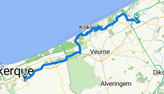
Ete 2015 - Etape 1 Téteghem - Nieuwpoort
A cycling route starting in Téteghem, Hauts-de-France, France.
Overview
About this route
xxxx
- -:--
- Duration
- 39.7 km
- Distance
- 37 m
- Ascent
- 37 m
- Descent
- ---
- Avg. speed
- ---
- Max. altitude
Route quality
Waytypes & surfaces along the route
Waytypes
Quiet road
19.1 km
(48 %)
Busy road
6.8 km
(17 %)
Surfaces
Paved
22.2 km
(56 %)
Unpaved
0.9 km
(2 %)
Asphalt
20.3 km
(51 %)
Paving stones
1 km
(2 %)
Continue with Bikemap
Use, edit, or download this cycling route
You would like to ride Ete 2015 - Etape 1 Téteghem - Nieuwpoort or customize it for your own trip? Here is what you can do with this Bikemap route:
Free features
- Save this route as favorite or in collections
- Copy & plan your own version of this route
- Sync your route with Garmin or Wahoo
Premium features
Free trial for 3 days, or one-time payment. More about Bikemap Premium.
- Navigate this route on iOS & Android
- Export a GPX / KML file of this route
- Create your custom printout (try it for free)
- Download this route for offline navigation
Discover more Premium features.
Get Bikemap PremiumFrom our community
Other popular routes starting in Téteghem
 BH 30
BH 30- Distance
- 29.6 km
- Ascent
- 4 m
- Descent
- 4 m
- Location
- Téteghem, Hauts-de-France, France
 07/06/2015 - Ballade Téteghem --- Koksijde --- Veurne --- De Moeren --- Téteghem
- Distance
- 52.2 km
- Ascent
- 13 m
- Descent
- 11 m
- Location
- Téteghem, Hauts-de-France, France
 BH Cap à l'ouest 95 km
- Distance
- 95.2 km
- Ascent
- 263 m
- Descent
- 263 m
- Location
- Téteghem, Hauts-de-France, France
 59F Aller aux viandes
- Distance
- 47.9 km
- Ascent
- 65 m
- Descent
- 64 m
- Location
- Téteghem, Hauts-de-France, France
 Dimanche 23 novembre 2014
- Distance
- 76.5 km
- Ascent
- 98 m
- Descent
- 99 m
- Location
- Téteghem, Hauts-de-France, France
 Ete 2015 - Etape 1 Téteghem - Nieuwpoort
- Distance
- 39.7 km
- Ascent
- 37 m
- Descent
- 37 m
- Location
- Téteghem, Hauts-de-France, France
 Les hauts d'Eperlecques
- Distance
- 105.3 km
- Ascent
- 87 m
- Descent
- 87 m
- Location
- Téteghem, Hauts-de-France, France
 BH 70
BH 70- Distance
- 69.8 km
- Ascent
- 140 m
- Descent
- 140 m
- Location
- Téteghem, Hauts-de-France, France
Open it in the app