

2009 Bremsdorfer Mühle--Cottbus
A cycling route starting in Mixdorf, Brandenburg, Germany.
Overview
About this route
The weather will be bad, stormy with cold wind and rain, already before Jänschwalde... they wanted to go to the Neisse, Google maps, nothing is true anymore because open-pit mining has spread everywhere, so the only way left is south and then to Cottbus.
- -:--
- Duration
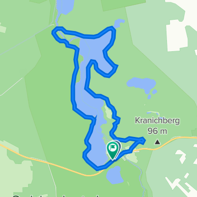
- 68.1 km
- Distance
- 171 m
- Ascent
- 159 m
- Descent
- ---
- Avg. speed
- ---
- Max. altitude
Route highlights
Points of interest along the route
Point of interest after 19.5 km
Aussichtspunkt mit Blick über die Erika Heide
Point of interest after 24.4 km
Kaffeepause ...mit Plinsen
Point of interest after 37.3 km
Regenschutzhütte,Sturm und Schüttung,kalt aber noch nicht batschnass
Point of interest after 42.4 km
hier stimmt weder googlke noch die Karten...längst alles vom Tagebau weggefressen,keine wege mehr keine Orte mehr,also zurück ...
Photo after 48.4 km
Hochsitz mit Blick aufs gigantische Kraftwerk Jänschwalde und überhaupt RUNDUMBLICK übers ganze Land
Photo after 51.1 km
Aussichtsplatz Cottbus Nord,Blick über den Tagebau
Point of interest after 63 km
Spreemühle...drei Minuten vorher hat uns der Regenguss erwischt
Point of interest after 68.1 km
Pension
Continue with Bikemap
Use, edit, or download this cycling route
You would like to ride 2009 Bremsdorfer Mühle--Cottbus or customize it for your own trip? Here is what you can do with this Bikemap route:
Free features
- Save this route as favorite or in collections
- Copy & plan your own version of this route
- Sync your route with Garmin or Wahoo
Premium features
Free trial for 3 days, or one-time payment. More about Bikemap Premium.
- Navigate this route on iOS & Android
- Export a GPX / KML file of this route
- Create your custom printout (try it for free)
- Download this route for offline navigation
Discover more Premium features.
Get Bikemap PremiumFrom our community
Other popular routes starting in Mixdorf
 Runde um den Jacobsee
- Distance
- 33.2 km
- Ascent
- 181 m
- Descent
- 179 m
- Location
- Mixdorf, Brandenburg, Germany
 Schernsdorf – Reitwein
- Distance
- 51.3 km
- Ascent
- 203 m
- Descent
- 279 m
- Location
- Mixdorf, Brandenburg, Germany
 29.09.2013 Schlaubetal
- Distance
- 36.5 km
- Ascent
- 217 m
- Descent
- 216 m
- Location
- Mixdorf, Brandenburg, Germany
 2009 Bremsdorfer Mühle--Cottbus
- Distance
- 68.1 km
- Ascent
- 171 m
- Descent
- 159 m
- Location
- Mixdorf, Brandenburg, Germany
 Schernsdorf - Schlaubetal
- Distance
- 34.5 km
- Ascent
- 362 m
- Descent
- 362 m
- Location
- Mixdorf, Brandenburg, Germany
 Bremsdorfer Mühle 5, Schlaubetal nach Bremsdorfer Mühle 5, Schlaubetal
- Distance
- 12 km
- Ascent
- 95 m
- Descent
- 88 m
- Location
- Mixdorf, Brandenburg, Germany
 Route in Siehdichum
- Distance
- 25.7 km
- Ascent
- 248 m
- Descent
- 247 m
- Location
- Mixdorf, Brandenburg, Germany
 17.03.2012 Schlaubetal Xtreme
- Distance
- 38.3 km
- Ascent
- 201 m
- Descent
- 200 m
- Location
- Mixdorf, Brandenburg, Germany
Open it in the app