Eisberg
- 21.8 km
- 332 m
- 345 m
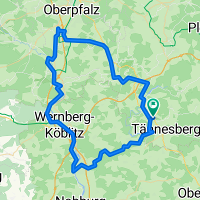
- Tännesberg, Bavaria, Germany
A cycling route starting in Tännesberg, Bavaria, Germany.
Overview
Trecking-Tagestour zum Bürgerfest WEN
created this 10 years ago
Route quality
Path
27.9 km
(37 %)
Quiet road
22.7 km
(30 %)
Paved
73.2 km
(97 %)
Unpaved
1.5 km
(2 %)
Asphalt
71.7 km
(95 %)
Concrete
1.5 km
(2 %)
Continue with Bikemap
You would like to ride GS-WEN-GS (Trecking) or customize it for your own trip? Here is what you can do with this Bikemap route:
Free trial for 3 days, or one-time payment. More about Bikemap Premium.
Discover more Premium features.
Get Bikemap PremiumFrom our community
Open it in the app