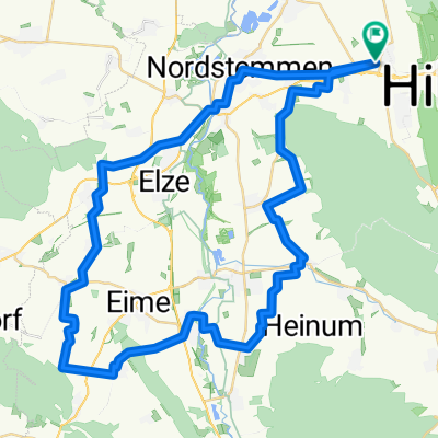
Hildesheimer Wald, hohe Tafel und zurück
- 55.6 km
- 770 m
- 769 m
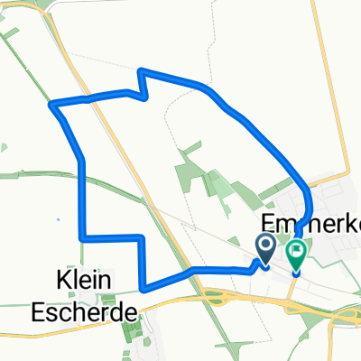
- Heyersum, Lower Saxony, Germany
A cycling route starting in Heyersum, Lower Saxony, Germany.
Overview
Varied mountain bike route through the hill ranges around Hildesheim. Short singletrack in the Hildesheimer Forest, opportunity to pause at the Eberholzen barbecue area (self-catering) and views of the surrounding area from the Hohe Tafel observation tower. Start and finish at the P+R car park at the station in Emmerke. Ridden on 12.09.09
created this 16 years ago
Route highlights
Grillplatz Eberholzen
Aussichtsturm Hohe Tafel
Continue with Bikemap
You would like to ride Hildesheimer Wald, hohe Tafel und zurück or customize it for your own trip? Here is what you can do with this Bikemap route:
Free trial for 3 days, or one-time payment. More about Bikemap Premium.
Discover more Premium features.
Get Bikemap PremiumFrom our community
Open it in the app