

Cyklotrasy 008- Český les- Tachovsko
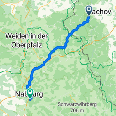
A cycling route starting in Tachov, Plzeň Region, Czechia.
Overview
About this route
By bike through the abandoned villages of the Bohemian Forest. A region where soldiers ruled until 1990
Until 1990, the Bohemian Forest in the Tachov region was behind the Iron Curtain, accessible only to border guards and locals. The post-war expulsion of the German population and the clearance of villages due to the border zone turned the landscape inhabited for centuries into a deserted area with relatively untouched nature.
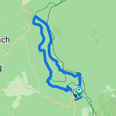
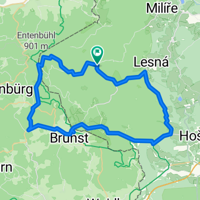
Length: 44 km Elevation gain: 750 m Difficulty: medium Bike type: trekking, mtb Route description: From Lesná near Tachov south and southwest along the blue trail to the crossroads at the former Nová Huť - along the red trail northwest, north and northeast to the crossroads at the former Hranická - along the blue trail through Branka and Obora back to Lesná
(cloned from route 189393)
- -:--
- Duration
- 43.9 km
- Distance
- 669 m
- Ascent
- 669 m
- Descent
- ---
- Avg. speed
- ---
- Max. altitude
Continue with Bikemap
Use, edit, or download this cycling route
You would like to ride Cyklotrasy 008- Český les- Tachovsko or customize it for your own trip? Here is what you can do with this Bikemap route:
Free features
- Save this route as favorite or in collections
- Copy & plan your own version of this route
- Sync your route with Garmin or Wahoo
Premium features
Free trial for 3 days, or one-time payment. More about Bikemap Premium.
- Navigate this route on iOS & Android
- Export a GPX / KML file of this route
- Create your custom printout (try it for free)
- Download this route for offline navigation
Discover more Premium features.
Get Bikemap PremiumFrom our community
Other popular routes starting in Tachov
 Day 29
- Distance
- 67.9 km
- Ascent
- 735 m
- Descent
- 1,027 m
- Location
- Tachov, Plzeň Region, Czechia
 08 Tachov - nejzápadnější bod - Hazlov
- Distance
- 116.5 km
- Ascent
- 1,069 m
- Descent
- 1,015 m
- Location
- Tachov, Plzeň Region, Czechia
 Tachov - Stribro B
- Distance
- 44.8 km
- Ascent
- 578 m
- Descent
- 633 m
- Location
- Tachov, Plzeň Region, Czechia
 Tc - Vranov
- Distance
- 52 km
- Ascent
- 594 m
- Descent
- 724 m
- Location
- Tachov, Plzeň Region, Czechia
 Ostrůvek-Tachov-Ostrůvek
- Distance
- 60.9 km
- Ascent
- 806 m
- Descent
- 872 m
- Location
- Tachov, Plzeň Region, Czechia
 Gehenhammer Sielberhütte
- Distance
- 13 km
- Ascent
- 253 m
- Descent
- 237 m
- Location
- Tachov, Plzeň Region, Czechia
 Ostrůvek 2
- Distance
- 41.6 km
- Ascent
- 640 m
- Descent
- 640 m
- Location
- Tachov, Plzeň Region, Czechia
 Tachov - Bor -Tachov
- Distance
- 56.2 km
- Ascent
- 617 m
- Descent
- 561 m
- Location
- Tachov, Plzeň Region, Czechia
Open it in the app