ClimbingChallenge2019
- 111.1 km
- 3,141 m
- 3,140 m
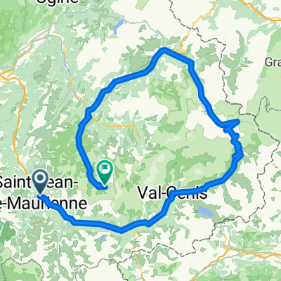
- Villargondran, Auvergne-Rhône-Alpes, France
A cycling route starting in Villargondran, Auvergne-Rhône-Alpes, France.
Overview
Let's go this way because the Chambon tunnel is closed due to an avalanche.
created this 10 years ago
Route quality
Road
20.5 km
(19 %)
Quiet road
3.2 km
(3 %)
Paved
61.4 km
(57 %)
Asphalt
61.4 km
(57 %)
Undefined
46.3 km
(43 %)
Continue with Bikemap
You would like to ride StMichelleMaurienne-Alpe d'Huez-Boug d'Oisan or customize it for your own trip? Here is what you can do with this Bikemap route:
Free trial for 3 days, or one-time payment. More about Bikemap Premium.
Discover more Premium features.
Get Bikemap PremiumFrom our community
Open it in the app