REDON-BORDEAUX-2014
- 643 km
- 257 m
- 256 m
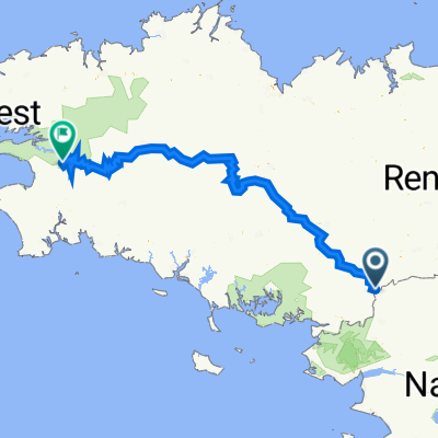
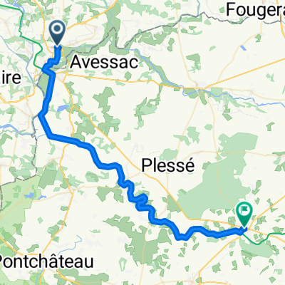
- Redon, Brittany Region, France
A cycling route starting in Redon, Brittany Region, France.
Overview
Mountain bike ride through 3 municipalities: Fégréac, St Nicolas-de Redon, and Avessac. Most of the paths are marked. The route is about 60 km long, featuring all types of trails. This ride will really put your legs to the test!!!
created this 10 years ago
Continue with Bikemap
You would like to ride Rando KM or customize it for your own trip? Here is what you can do with this Bikemap route:
Free trial for 3 days, or one-time payment. More about Bikemap Premium.
Discover more Premium features.
Get Bikemap PremiumFrom our community
Open it in the app