

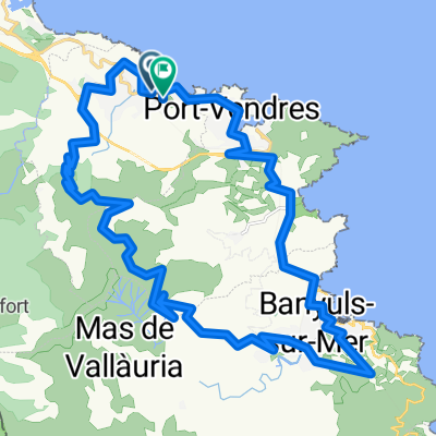
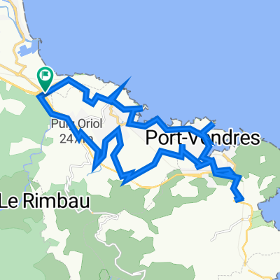
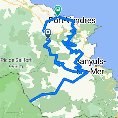
Collioure - Port-Vendres
A cycling route starting in Collioure, Occitanie, France.
Overview
About this route
von Collioure durch die Berge nach Port-Vendres und am Meer zurück.
- -:--
- Duration
- 17 km
- Distance
- 413 m
- Ascent
- 413 m
- Descent
- ---
- Avg. speed
- ---
- Max. altitude
Route quality
Waytypes & surfaces along the route
Waytypes
Road
6.8 km
(40 %)
Quiet road
4.1 km
(24 %)
Surfaces
Paved
16.5 km
(97 %)
Unpaved
0.3 km
(2 %)
Asphalt
16.5 km
(97 %)
Gravel
0.3 km
(2 %)
Undefined
0.2 km
(1 %)
Continue with Bikemap
Use, edit, or download this cycling route
You would like to ride Collioure - Port-Vendres or customize it for your own trip? Here is what you can do with this Bikemap route:
Free features
- Save this route as favorite or in collections
- Copy & plan your own version of this route
- Sync your route with Garmin or Wahoo
Premium features
Free trial for 3 days, or one-time payment. More about Bikemap Premium.
- Navigate this route on iOS & Android
- Export a GPX / KML file of this route
- Create your custom printout (try it for free)
- Download this route for offline navigation
Discover more Premium features.
Get Bikemap PremiumFrom our community
Other popular routes starting in Collioure
 Abschiedstour Urlaub Südfrankreich Okt. 2009
- Distance
- 19.8 km
- Ascent
- 728 m
- Descent
- 712 m
- Location
- Collioure, Occitanie, France
 Etapa 1 - R
- Distance
- 142.1 km
- Ascent
- 1,504 m
- Descent
- 1,227 m
- Location
- Collioure, Occitanie, France
 34k_Collioure-Banyul
- Distance
- 34.1 km
- Ascent
- 1,614 m
- Descent
- 1,619 m
- Location
- Collioure, Occitanie, France
 2007 Pyrenäen
- Distance
- 877.6 km
- Ascent
- 2,708 m
- Descent
- 2,719 m
- Location
- Collioure, Occitanie, France
 Collioure - Fort St. Elmo
- Distance
- 23.9 km
- Ascent
- 569 m
- Descent
- 569 m
- Location
- Collioure, Occitanie, France
 ETE 2021 - Mediterranée - Collioure - Argelès/Mer
- Distance
- 7.7 km
- Ascent
- 63 m
- Descent
- 80 m
- Location
- Collioure, Occitanie, France
 Col de Banyuls
- Distance
- 56.1 km
- Ascent
- 2,229 m
- Descent
- 2,457 m
- Location
- Collioure, Occitanie, France
 Chemin du Mas Christine, Argelès-sur-Mer to D 914, Collioure
- Distance
- 1.1 km
- Ascent
- 70 m
- Descent
- 31 m
- Location
- Collioure, Occitanie, France
Open it in the app