

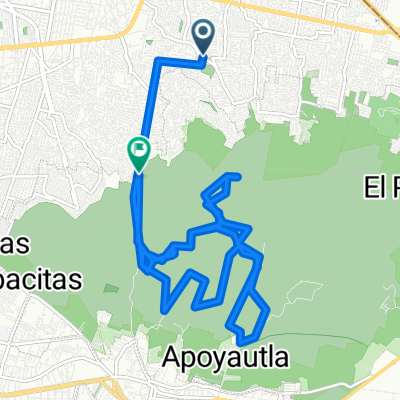
Ixtlahuacan a Ozumba
A cycling route starting in Emiliano Zapata, State of Mexico, Mexico.
Overview
About this route
Route from Ixtlahuacan to Amecameca, Ozumba, Juchitepec and back.
- -:--
- Duration
- 105.1 km
- Distance
- 811 m
- Ascent
- 811 m
- Descent
- ---
- Avg. speed
- ---
- Max. altitude
Continue with Bikemap
Use, edit, or download this cycling route
You would like to ride Ixtlahuacan a Ozumba or customize it for your own trip? Here is what you can do with this Bikemap route:
Free features
- Save this route as favorite or in collections
- Copy & plan your own version of this route
- Split it into stages to create a multi-day tour
- Sync your route with Garmin or Wahoo
Premium features
Free trial for 3 days, or one-time payment. More about Bikemap Premium.
- Navigate this route on iOS & Android
- Export a GPX / KML file of this route
- Create your custom printout (try it for free)
- Download this route for offline navigation
Discover more Premium features.
Get Bikemap PremiumFrom our community
Other popular routes starting in Emiliano Zapata
 De Ciprés MZ274 LT11, Ciudad de México a Ciprés MZ274 LT8, Ciudad de México
- Distance
- 7.8 km
- Ascent
- 127 m
- Descent
- 106 m
- Location
- Emiliano Zapata, State of Mexico, Mexico
 De Ciprés MZ274 LT11 a Ciprés MZ270 LT25
- Distance
- 14.3 km
- Ascent
- 175 m
- Descent
- 161 m
- Location
- Emiliano Zapata, State of Mexico, Mexico
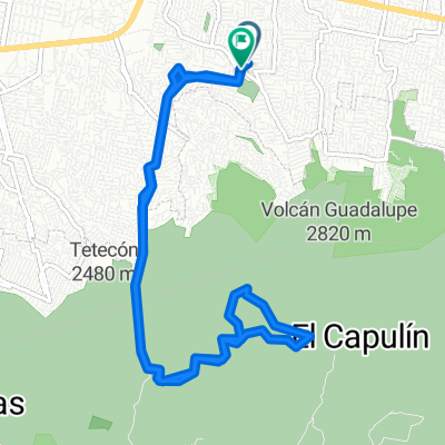
 chinga2
- Distance
- 24.8 km
- Ascent
- 823 m
- Descent
- 746 m
- Location
- Emiliano Zapata, State of Mexico, Mexico
 De Calle Ixtapaluca MZ204 LT6 a Andador
- Distance
- 14.9 km
- Ascent
- 67 m
- Descent
- 116 m
- Location
- Emiliano Zapata, State of Mexico, Mexico
 De Ciprés MZ274 LT11, Ciudad de México a Lázaro Cárdenas MZ28 LT50, Ciudad de México
- Distance
- 2.7 km
- Ascent
- 24 m
- Descent
- 44 m
- Location
- Emiliano Zapata, State of Mexico, Mexico
 De Bambú MZ6 LT1, Ciudad de México a Avenida de las Torres MZ531 LT9, Ciudad de México
- Distance
- 20.6 km
- Ascent
- 357 m
- Descent
- 438 m
- Location
- Emiliano Zapata, State of Mexico, Mexico
 De Margaritas MZ1 LT5, Ciudad de México a Margaritas MZ3 LT15, Ciudad de México
- Distance
- 58.1 km
- Ascent
- 195 m
- Descent
- 288 m
- Location
- Emiliano Zapata, State of Mexico, Mexico
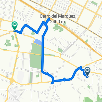
 De Cerrada Jacarandas MZ1 LT7, Ciudad de México a Ciprés MZ274 LT9, Ciudad de México
- Distance
- 2.4 km
- Ascent
- 53 m
- Descent
- 28 m
- Location
- Emiliano Zapata, State of Mexico, Mexico
Open it in the app