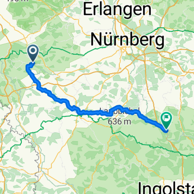
R4_2015
A cycling route starting in Colmberg, Bavaria, Germany.
Overview
About this route
Colmberg-Leutershausen-Herrieden-Altmühlsee/Gunzenhausen-Brombachsee-Thalmassing--Greding 112km 410hm
Altmühlradweg ab Colmberg Fränk.Seen-Rw. ab Gunzenhausen Altmühlradweg ab Thalmassing- -:--
- Duration
- 111.8 km
- Distance
- 275 m
- Ascent
- 335 m
- Descent
- ---
- Avg. speed
- ---
- Max. altitude
Route quality
Waytypes & surfaces along the route
Waytypes
Track
33.5 km
(30 %)
Quiet road
31.3 km
(28 %)
Surfaces
Paved
67.1 km
(60 %)
Unpaved
22.4 km
(20 %)
Asphalt
61.5 km
(55 %)
Gravel
19 km
(17 %)
Continue with Bikemap
Use, edit, or download this cycling route
You would like to ride R4_2015 or customize it for your own trip? Here is what you can do with this Bikemap route:
Free features
- Save this route as favorite or in collections
- Copy & plan your own version of this route
- Split it into stages to create a multi-day tour
- Sync your route with Garmin or Wahoo
Premium features
Free trial for 3 days, or one-time payment. More about Bikemap Premium.
- Navigate this route on iOS & Android
- Export a GPX / KML file of this route
- Create your custom printout (try it for free)
- Download this route for offline navigation
Discover more Premium features.
Get Bikemap PremiumFrom our community
Other popular routes starting in Colmberg
2023 Tag 11 Dinkelsbühl- Distance
- 47.4 km
- Ascent
- 334 m
- Descent
- 338 m
- Location
- Colmberg, Bavaria, Germany
Rund um Colmberg- Distance
- 37.2 km
- Ascent
- 177 m
- Descent
- 176 m
- Location
- Colmberg, Bavaria, Germany
Altmühltal Radweg Rothenburg Kelheim- Distance
- 211.7 km
- Ascent
- 180 m
- Descent
- 277 m
- Location
- Colmberg, Bavaria, Germany
5. Tag Bobby- Distance
- 77.8 km
- Ascent
- 420 m
- Descent
- 578 m
- Location
- Colmberg, Bavaria, Germany
A-M-T 1.Tag Colmberg-Rothenburg- Distance
- 29.7 km
- Ascent
- 192 m
- Descent
- 202 m
- Location
- Colmberg, Bavaria, Germany
Burgstraße, Colmberg nach Weinmarkt, Dinkelsbühl- Distance
- 49 km
- Ascent
- 255 m
- Descent
- 309 m
- Location
- Colmberg, Bavaria, Germany
1. Etappe: Colmberg nach Herrieden kurz- Distance
- 17.2 km
- Ascent
- 34 m
- Descent
- 53 m
- Location
- Colmberg, Bavaria, Germany
Rundkurs Europäische Wasserscheide- Distance
- 58.6 km
- Ascent
- 465 m
- Descent
- 465 m
- Location
- Colmberg, Bavaria, Germany
Open it in the app


