Hohenloherundfahrt
- 122.7 km
- 523 m
- 523 m
- Satteldorf, Baden-Wurttemberg, Germany
A cycling route starting in Satteldorf, Baden-Wurttemberg, Germany.
Overview
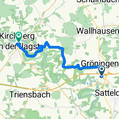
Cycling tour Satteldorf - Gröningen approx. 19 km with a slightly modified route
After Hengstfeld, a detour is worthwhile, as you can visit the local prison.
In open fields between the county road from Wallhausen to Bölgental lies the remains of the Anhausen monastery (1403)
A detour to the hammer forge (1804), as a technical cultural monument, is worth a visit.
created this 16 years ago
Route quality
Quiet road
7.1 km
(37 %)
Track
5.8 km
(30 %)
Paved
8.8 km
(46 %)
Unpaved
1.9 km
(10 %)
Paved (undefined)
4.4 km
(23 %)
Asphalt
4.4 km
(23 %)
Continue with Bikemap
You would like to ride Satteldorf Radtour 2 mit leicht veränderte Wegführung or customize it for your own trip? Here is what you can do with this Bikemap route:
Free trial for 3 days, or one-time payment. More about Bikemap Premium.
Discover more Premium features.
Get Bikemap PremiumFrom our community
Open it in the app