

Rund um Deinste
A cycling route starting in Agathenburg, Lower Saxony, Germany.
Overview
About this route
Tour as part of the cycling program TSV Buxtehude-Altkloster on August 16, 2015
- -:--
- Duration
- 64.8 km
- Distance
- 134 m
- Ascent
- 129 m
- Descent
- ---
- Avg. speed
- ---
- Max. altitude

Route quality
Waytypes & surfaces along the route
Waytypes
Quiet road
20.7 km
(32 %)
Track
16.8 km
(26 %)
Surfaces
Paved
27.2 km
(42 %)
Unpaved
16.2 km
(25 %)
Asphalt
22.7 km
(35 %)
Gravel
7.8 km
(12 %)
Continue with Bikemap
Use, edit, or download this cycling route
You would like to ride Rund um Deinste or customize it for your own trip? Here is what you can do with this Bikemap route:
Free features
- Save this route as favorite or in collections
- Copy & plan your own version of this route
- Sync your route with Garmin or Wahoo
Premium features
Free trial for 3 days, or one-time payment. More about Bikemap Premium.
- Navigate this route on iOS & Android
- Export a GPX / KML file of this route
- Create your custom printout (try it for free)
- Download this route for offline navigation
Discover more Premium features.
Get Bikemap PremiumFrom our community
Other popular routes starting in Agathenburg
 2015-08-20 Steinbeck Kreisel
- Distance
- 17.3 km
- Ascent
- 35 m
- Descent
- 33 m
- Location
- Agathenburg, Lower Saxony, Germany
 Saisonstart 01. Mai 2008
- Distance
- 59.7 km
- Ascent
- 118 m
- Descent
- 124 m
- Location
- Agathenburg, Lower Saxony, Germany
 Hansestadt Stade, Stade nach Ulmenweg, Fredenbeck
- Distance
- 12 km
- Ascent
- 462 m
- Descent
- 463 m
- Location
- Agathenburg, Lower Saxony, Germany
 Altes Land
- Distance
- 69 km
- Ascent
- 7 m
- Descent
- 10 m
- Location
- Agathenburg, Lower Saxony, Germany
 Tag 3. Elberadtour 2011
- Distance
- 56.4 km
- Ascent
- 51 m
- Descent
- 51 m
- Location
- Agathenburg, Lower Saxony, Germany
 Rund um Stade
- Distance
- 54.9 km
- Ascent
- 112 m
- Descent
- 99 m
- Location
- Agathenburg, Lower Saxony, Germany
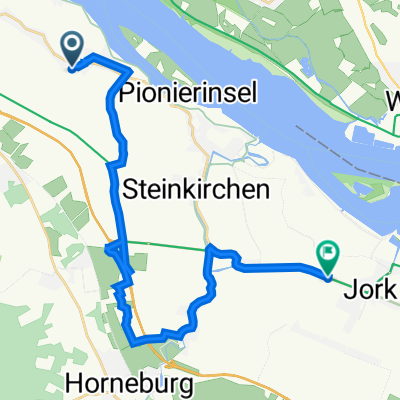 Vorderstraße 18–26, Hollern-Twielenfleth nach Westerjork 81, Jork
- Distance
- 21.9 km
- Ascent
- 51 m
- Descent
- 51 m
- Location
- Agathenburg, Lower Saxony, Germany
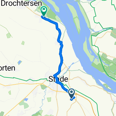 Airbus-Straße 2, Stade nach Asseler Außendeich 28, Drochtersen
- Distance
- 18.1 km
- Ascent
- 12 m
- Descent
- 24 m
- Location
- Agathenburg, Lower Saxony, Germany
Open it in the app