


Garmin
RadlerTreff 27km 2025-08-01 Primisweiler Hergatz- 21.4 km
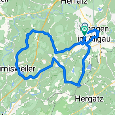
- 235 m
- 234 m
- Wangen, Baden-Wurttemberg, Germany
Overview
AOK Radsonntag 2015
created this 10 years ago
Part of

3 stages
Route quality
Track
17.6 km
(31 %)
Quiet road
17 km
(30 %)
Paved
32.9 km
(58 %)
Unpaved
15.3 km
(27 %)
Asphalt
31.2 km
(55 %)
Unpaved (undefined)
7.4 km
(13 %)
Route highlights
Lindauer Stra�e, 41
Stadtzentrum
Stadtzentrum
Stadtzentrum
Isnyer Stra�e
Stadtzentrum
Stadtzentrum
Rengers
Schwanden
Haubach
Continue with Bikemap
You would like to ride AOK RADSONNTAG 2015 or customize it for your own trip? Here is what you can do with this Bikemap route:
Free trial for 3 days, or one-time payment. More about Bikemap Premium.
Discover more Premium features.
Get Bikemap PremiumFrom our community
Garmin
RadlerTreff 27km 2025-08-01 Primisweiler HergatzGarmin
Test: RadlerTreff 39km (für 2025-09-12) SchöreOpen it in the app


