MTB-WE 2012 Eselsweg - Sonntag
- 53.9 km
- 608 m
- 679 m
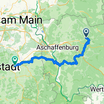
- Heigenbrücken, Bavaria, Germany
A cycling route starting in Heigenbrücken, Bavaria, Germany.
Overview
The Eselsweg runs from Schlüchtern to Miltenberg.
The trail is perfectly signposted. A black E in a white square.
Day 1: Schlüchtern - Heigenbrücken
Day 2: Heigenbrücken - Miltenberg
The end of the trail is the Engelberg Monastery. Perfect. Good and cheap beer.
created this 16 years ago
Continue with Bikemap
You would like to ride Eselsweg2 or customize it for your own trip? Here is what you can do with this Bikemap route:
Free trial for 3 days, or one-time payment. More about Bikemap Premium.
Discover more Premium features.
Get Bikemap PremiumFrom our community
Open it in the app