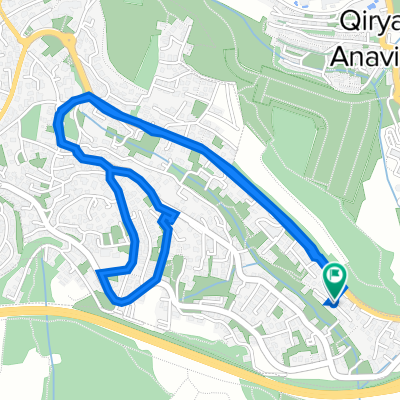
סובב ירושלים
A cycling route starting in Abu Ghosh, Jerusalem District, Israel.
Overview
About this route
מסלול : נווה אילן - עין חמד - מבשרת שכונה יא' - הקסטל - כיכר הסטף - עין כרם - דרך כרמית - הנרייטה סאלד - ארתור אנטקה - הר הרצל - יער ירושלים - בית זית - מוצא עילית - שבע אחיות - קסטל - מבשרת - עין חמד - מעלה החמישה - אבו גוש .
אורך : 42 ק"מ . גובה : 1600 מטר- -:--
- Duration
- 41.9 km
- Distance
- 898 m
- Ascent
- 902 m
- Descent
- ---
- Avg. speed
- ---
- Max. altitude
Continue with Bikemap
Use, edit, or download this cycling route
You would like to ride סובב ירושלים or customize it for your own trip? Here is what you can do with this Bikemap route:
Free features
- Save this route as favorite or in collections
- Copy & plan your own version of this route
- Sync your route with Garmin or Wahoo
Premium features
Free trial for 3 days, or one-time payment. More about Bikemap Premium.
- Navigate this route on iOS & Android
- Export a GPX / KML file of this route
- Create your custom printout (try it for free)
- Download this route for offline navigation
Discover more Premium features.
Get Bikemap PremiumFrom our community
Other popular routes starting in Abu Ghosh
 От Israel National Trail, Ein Rafa до Nakhal Har'el Street 11, Eshtaol
- Distance
- 11.8 km
- Ascent
- 50 m
- Descent
- 347 m
- Location
- Abu Ghosh, Jerusalem District, Israel
 even sapir to jerusalem
- Distance
- 6.7 km
- Ascent
- ---
- Descent
- ---
- Location
- Abu Ghosh, Jerusalem District, Israel
 סובב ירושלים
- Distance
- 41.9 km
- Ascent
- 898 m
- Descent
- 902 m
- Location
- Abu Ghosh, Jerusalem District, Israel
 Thursday Off Road
- Distance
- 46 km
- Ascent
- 1,087 m
- Descent
- 1,106 m
- Location
- Abu Ghosh, Jerusalem District, Israel
 Haazrar Street, Abu Gosh to Haazrar Street, Abu Gosh
- Distance
- 8.5 km
- Ascent
- 215 m
- Descent
- 217 m
- Location
- Abu Ghosh, Jerusalem District, Israel
 500MTB12
- Distance
- 24.5 km
- Ascent
- 627 m
- Descent
- 624 m
- Location
- Abu Ghosh, Jerusalem District, Israel
 סובב הר איתן
- Distance
- 8.3 km
- Ascent
- 161 m
- Descent
- 240 m
- Location
- Abu Ghosh, Jerusalem District, Israel
 Haazrar Street, Abu Gosh to Haazrar Street, Abu Gosh
- Distance
- 5 km
- Ascent
- 129 m
- Descent
- 134 m
- Location
- Abu Ghosh, Jerusalem District, Israel
Open it in the app


