la diat
- 2.5 km
- 91 m
- 93 m
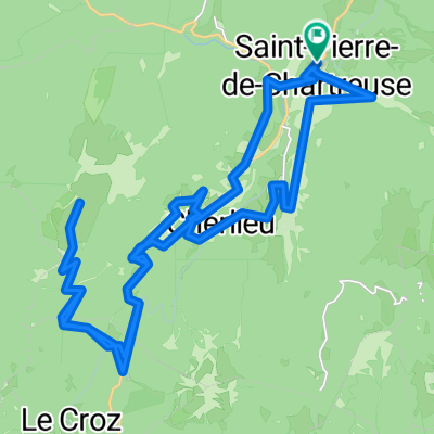
- Saint-Hilaire, Auvergne-Rhône-Alpes, France
A cycling route starting in Saint-Hilaire, Auvergne-Rhône-Alpes, France.
Overview
..
.
(cloned from route 3134034)
(cloned from route 3134036)
created this 10 years ago
Route quality
Cycleway
6.7 km
(9 %)
Road
5.9 km
(8 %)
Paved
46 km
(62 %)
Asphalt
46 km
(62 %)
Undefined
28.2 km
(38 %)
Continue with Bikemap
You would like to ride Francia Alpok T-2 or customize it for your own trip? Here is what you can do with this Bikemap route:
Free trial for 3 days, or one-time payment. More about Bikemap Premium.
Discover more Premium features.
Get Bikemap PremiumFrom our community
Open it in the app