

Frankfurt am Main: Rund um den Rhein-Main Airport
A cycling route starting in Niederrad, Hesse, Germany.
Overview
About this route
Around the Rhein-Main Airport.
A very beautiful and varied tour around Frankfurt Airport with the viewing platform to the east on the A5 near the Airlift Memorial and the viewing platform to the west at the West runway.
Start and end point: Ffm Gutleutstraße 391
- -:--
- Duration
- 32.7 km
- Distance
- 78 m
- Ascent
- 78 m
- Descent
- ---
- Avg. speed
- ---
- Max. altitude

Route photos


Route highlights
Points of interest along the route

Photo after 0 km
Start und Ende Orange Beach Gutleutstr. 391 60327 Frankfurt am Main http://www.orangebeach-frankfurt.de

Point of interest after 0 km
Orange Beach http://www.orangebeach-frankfurt.de/

Photo after 8.6 km
Das Termial 4: Hessische Gastronomie für Jung und Alt, für Wanderer und Radfahrer. http://www.terminal-vier.de/

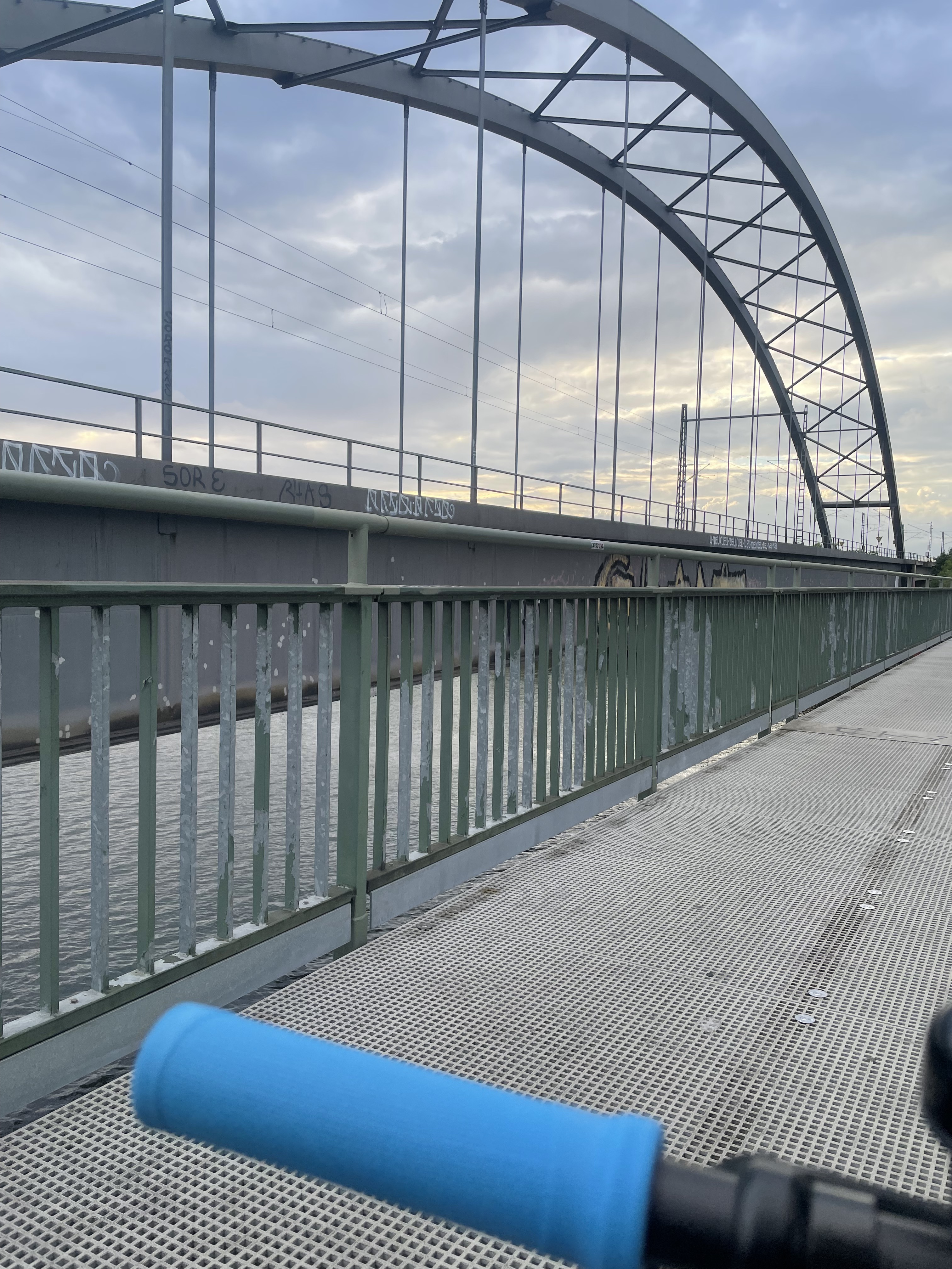
Photo after 9.5 km
Rhein-Main Airport Frankfurt am Main

Photo after 9.5 km
Rhein-Main Airport Frankfurt am Main

Photo after 9.7 km
Luftbrückendenkmal Frankfurt am Main

Photo after 9.7 km
Luftbrückendenkmal Frankfurt am Main

Photo after 9.7 km
Luftbrückendenkmal Frankfurt am Main

Photo after 17.8 km
Rhein-Main Airport (Startbahn West)

Photo after 18.5 km
Rhein-Main Airport Frankfurt am Main

Photo after 18.9 km
Rhein-Main Airport Frankfurt am Main

Photo after 31.3 km
Nicht nur Fassade: das Wandgemälde gegen Rassismus in Niederrad mit der Aufschrift „Wir schämen für alle, die gegen uns schreien“
Continue with Bikemap
Use, edit, or download this cycling route
You would like to ride Frankfurt am Main: Rund um den Rhein-Main Airport or customize it for your own trip? Here is what you can do with this Bikemap route:
Free features
- Save this route as favorite or in collections
- Copy & plan your own version of this route
- Sync your route with Garmin or Wahoo
Premium features
Free trial for 3 days, or one-time payment. More about Bikemap Premium.
- Navigate this route on iOS & Android
- Export a GPX / KML file of this route
- Create your custom printout (try it for free)
- Download this route for offline navigation
Discover more Premium features.
Get Bikemap PremiumFrom our community
Other popular routes starting in Niederrad
 Kleine Runde Richtung Wetterau
- Distance
- 52.7 km
- Ascent
- 318 m
- Descent
- 275 m
- Location
- Niederrad, Hesse, Germany
 Gallus, Oberursel, Feldberg, Ruppertshain
- Distance
- 68.8 km
- Ascent
- 879 m
- Descent
- 878 m
- Location
- Niederrad, Hesse, Germany
 Ringroute Frankfurt am Main
- Distance
- 68.7 km
- Ascent
- 210 m
- Descent
- 192 m
- Location
- Niederrad, Hesse, Germany
 Zur Stangenpyramide und zurück
- Distance
- 34.9 km
- Ascent
- 146 m
- Descent
- 144 m
- Location
- Niederrad, Hesse, Germany
 Lyoner Straße, Frankfurt am Main nach Alt-Nied, Frankfurt am Main
- Distance
- 7.7 km
- Ascent
- 255 m
- Descent
- 278 m
- Location
- Niederrad, Hesse, Germany
 Frankfurts leichter, grüner Süden
- Distance
- 50.4 km
- Ascent
- 116 m
- Descent
- 92 m
- Location
- Niederrad, Hesse, Germany
 Goldsteiner Wald
- Distance
- 28.9 km
- Ascent
- 79 m
- Descent
- 80 m
- Location
- Niederrad, Hesse, Germany
 Niederrad Rodgau Runde
- Distance
- 54 km
- Ascent
- 238 m
- Descent
- 238 m
- Location
- Niederrad, Hesse, Germany
Open it in the app