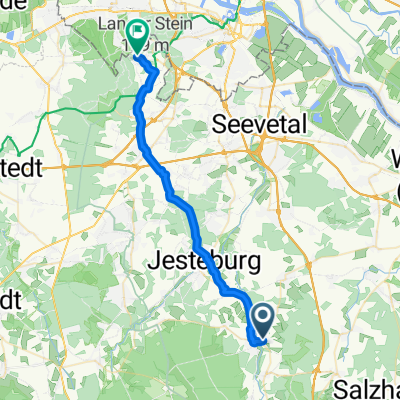
Nindorf - Ollsen Spielplatz - Sprötze (Straße)
- 27.2 km
- 191 m
- 168 m
- Hanstedt, Lower Saxony, Germany
A cycling route starting in Hanstedt, Lower Saxony, Germany.
Overview
02.03.14 13:38
(cloned from route 2451544)
created this 10 years ago
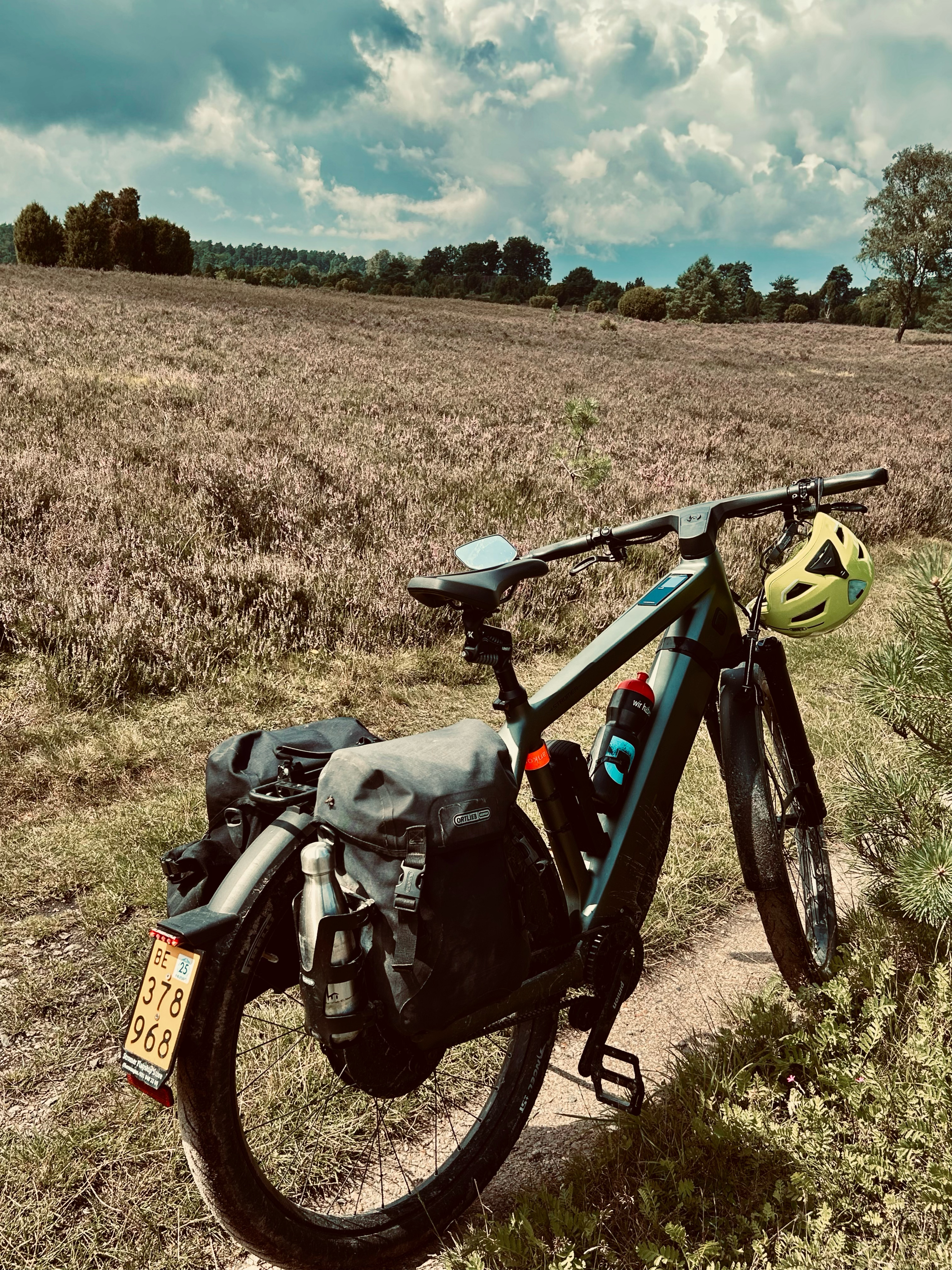
Route quality
Track
17.6 km
(44 %)
Path
15.6 km
(39 %)
Paved
4.4 km
(11 %)
Unpaved
26.1 km
(65 %)
Ground
7.6 km
(19 %)
Sand
7.2 km
(18 %)
Continue with Bikemap
You would like to ride Wilsederberg or customize it for your own trip? Here is what you can do with this Bikemap route:
Free trial for 3 days, or one-time payment. More about Bikemap Premium.
Discover more Premium features.
Get Bikemap PremiumFrom our community
Open it in the app