

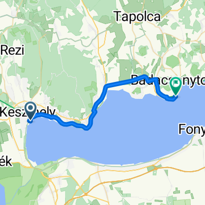
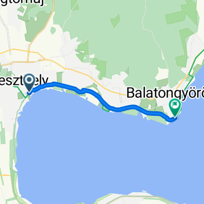
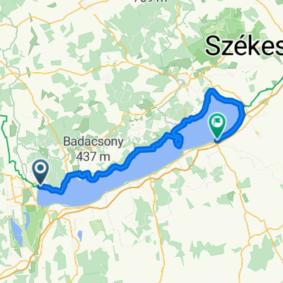
Keszthely - Balatongyörök
A cycling route starting in Keszthely, Zala County, Hungary.
Overview
About this route
- 31 min
- Duration
- 9.5 km
- Distance
- 35 m
- Ascent
- 27 m
- Descent
- 18.7 km/h
- Avg. speed
- ---
- Max. altitude
Route quality
Waytypes & surfaces along the route
Waytypes
Cycleway
6.2 km
(65 %)
Quiet road
2.3 km
(24 %)
Surfaces
Paved
8.5 km
(89 %)
Unpaved
0.4 km
(4 %)
Asphalt
8.5 km
(89 %)
Unpaved (undefined)
0.4 km
(4 %)
Undefined
0.7 km
(7 %)
Route highlights
Points of interest along the route

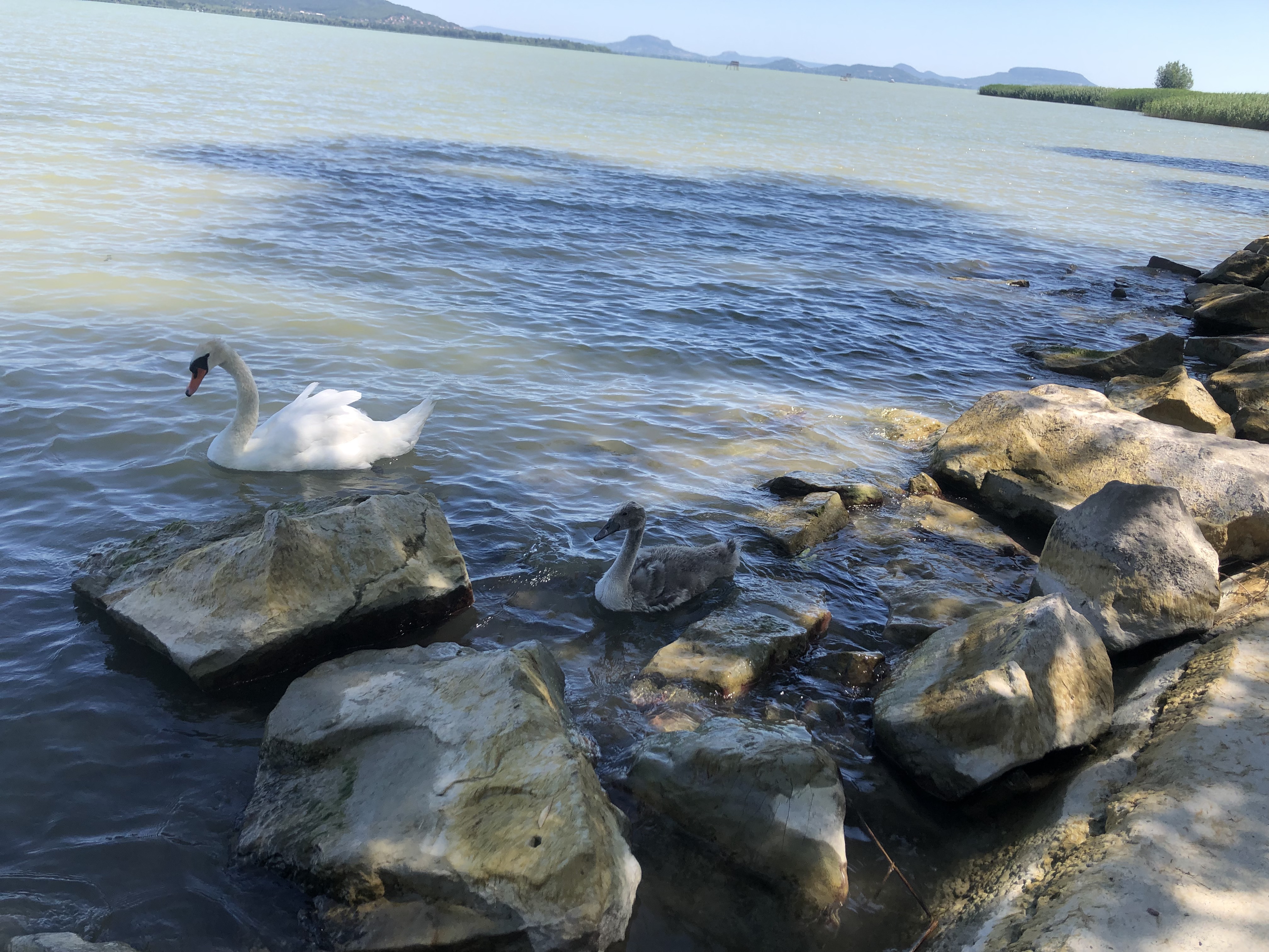
Point of interest after 0.1 km
Continue with Bikemap
Use, edit, or download this cycling route
You would like to ride Keszthely - Balatongyörök or customize it for your own trip? Here is what you can do with this Bikemap route:
Free features
- Save this route as favorite or in collections
- Copy & plan your own version of this route
- Sync your route with Garmin or Wahoo
Premium features
Free trial for 3 days, or one-time payment. More about Bikemap Premium.
- Navigate this route on iOS & Android
- Export a GPX / KML file of this route
- Create your custom printout (try it for free)
- Download this route for offline navigation
Discover more Premium features.
Get Bikemap PremiumFrom our community
Other popular routes starting in Keszthely
 Pipacs utca 55, Keszthely - Pipacs utca 57, Keszthely
- Distance
- 13.7 km
- Ascent
- 58 m
- Descent
- 48 m
- Location
- Keszthely, Zala County, Hungary
 Móló - Badacsony
- Distance
- 28.2 km
- Ascent
- 109 m
- Descent
- 107 m
- Location
- Keszthely, Zala County, Hungary
 József Attila utca 2, Keszthely to Felsőcsetényi utca 1908, Balatongyörök
- Distance
- 15.2 km
- Ascent
- 162 m
- Descent
- 149 m
- Location
- Keszthely, Zala County, Hungary
 Ady Endre utca, Keszthely - Balaton utca, Balatongyörök
- Distance
- 9.1 km
- Ascent
- 38 m
- Descent
- 35 m
- Location
- Keszthely, Zala County, Hungary
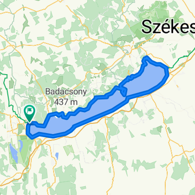 Giro del Lago Balaton
- Distance
- 218.9 km
- Ascent
- 845 m
- Descent
- 846 m
- Location
- Keszthely, Zala County, Hungary
 Pázmány Péter utca, Keszthely - Pázmány Péter utca, Keszthely
- Distance
- 37.9 km
- Ascent
- 87 m
- Descent
- 90 m
- Location
- Keszthely, Zala County, Hungary
 Tapolcai út, Keszthely - Radnóti Miklós utca, Balatonszárszó
- Distance
- 62.2 km
- Ascent
- 77 m
- Descent
- 72 m
- Location
- Keszthely, Zala County, Hungary
 Keszthely - Siófok
- Distance
- 132.9 km
- Ascent
- 699 m
- Descent
- 698 m
- Location
- Keszthely, Zala County, Hungary
Open it in the app