TWD to S congress and E stassney (by way of Bastrop)
A cycling route starting in Onion Creek, Texas, United States.
Overview
About this route
NOT the shortest way to get from TWD to S Congress
- -:--
- Duration
- 133.1 km
- Distance
- 334 m
- Ascent
- 351 m
- Descent
- ---
- Avg. speed
- ---
- Max. altitude
Route quality
Waytypes & surfaces along the route
Waytypes
Quiet road
42.6 km
(32 %)
Road
24 km
(18 %)
Surfaces
Paved
69.2 km
(52 %)
Asphalt
63.9 km
(48 %)
Paved (undefined)
5.3 km
(4 %)
Undefined
63.9 km
(48 %)
Continue with Bikemap
Use, edit, or download this cycling route
You would like to ride TWD to S congress and E stassney (by way of Bastrop) or customize it for your own trip? Here is what you can do with this Bikemap route:
Free features
- Save this route as favorite or in collections
- Copy & plan your own version of this route
- Split it into stages to create a multi-day tour
- Sync your route with Garmin or Wahoo
Premium features
Free trial for 3 days, or one-time payment. More about Bikemap Premium.
- Navigate this route on iOS & Android
- Export a GPX / KML file of this route
- Create your custom printout (try it for free)
- Download this route for offline navigation
Discover more Premium features.
Get Bikemap PremiumFrom our community
Other popular routes starting in Onion Creek
- 515 E Slaughter Ln, Austin to University Cir, Austin
- Distance
- 9.9 km
- Ascent
- 95 m
- Descent
- 76 m
- Location
- Onion Creek, Texas, United States
- Recovered Route
- Distance
- 6.7 km
- Ascent
- 77 m
- Descent
- 38 m
- Location
- Onion Creek, Texas, United States
- McKinney Falls Trails
- Distance
- 14.2 km
- Ascent
- 91 m
- Descent
- 90 m
- Location
- Onion Creek, Texas, United States
- 8909 Looksee Ln, Austin to 8908 Looksee Ln, Austin
- Distance
- 14 km
- Ascent
- 75 m
- Descent
- 74 m
- Location
- Onion Creek, Texas, United States
- loop2
- Distance
- 14.9 km
- Ascent
- 102 m
- Descent
- 96 m
- Location
- Onion Creek, Texas, United States
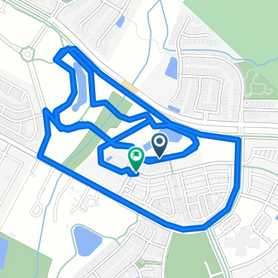
- Onion Creek Jog (20mi/32km)
- Distance
- 32.2 km
- Ascent
- 182 m
- Descent
- 178 m
- Location
- Onion Creek, Texas, United States
- Hot Cheetos and Beer
- Distance
- 5.6 km
- Ascent
- 41 m
- Descent
- 45 m
- Location
- Onion Creek, Texas, United States
- 6341 Shadow Bend, Austin to 6341 Shadow Bend, Austin
- Distance
- 0.2 km
- Ascent
- 213 m
- Descent
- 212 m
- Location
- Onion Creek, Texas, United States
Open it in the app