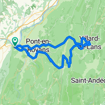
Combe Laval - Bataille
A cycling route starting in Saint-Just-de-Claix, Auvergne-Rh么ne-Alpes, France.
Overview
About this route
Climbs the spectacular road carved into the walls of Combe Laval then heads over the Col de la Bataille to Leoncel.
- -:--
- Duration
- 79.4 km
- Distance
- 2,424 m
- Ascent
- 2,373 m
- Descent
- ---
- Avg. speed
- 1,372 m
- Avg. speed
Route quality
Waytypes & surfaces along the route
Waytypes
Busy road
73 km
(92 %)
Quiet road
3.3 km
(4 %)
Surfaces
Paved
63.1 km
(79 %)
Unpaved
0.2 km
(<1 %)
Asphalt
63.1 km
(79 %)
Unpaved (undefined)
0.1 km
(<1 %)
Continue with Bikemap
Use, edit, or download this cycling route
You would like to ride Combe Laval - Bataille or customize it for your own trip? Here is what you can do with this Bikemap route:
Free features
- Save this route as favorite or in collections
- Copy & plan your own version of this route
- Sync your route with Garmin or Wahoo
Premium features
Free trial for 3 days, or one-time payment. More about Bikemap Premium.
- Navigate this route on iOS & Android
- Export a GPX / KML file of this route
- Create your custom printout (try it for free)
- Download this route for offline navigation
Discover more Premium features.
Get Bikemap PremiumFrom our community
Other popular routes starting in Saint-Just-de-Claix
- 14. Tag Sint Nazare en Royans- Grenoble
- Distance
- 102 km
- Ascent
- 1,185 m
- Descent
- 1,151 m
- Location
- Saint-Just-de-Claix, Auvergne-Rh么ne-Alpes, France
- Etapa 082B (Saint Nazaire en Royans - Le Bourg d'Oisans)
- Distance
- 151.4 km
- Ascent
- 2,783 m
- Descent
- 2,226 m
- Location
- Saint-Just-de-Claix, Auvergne-Rh么ne-Alpes, France
- Vercors 2
- Distance
- 59.1 km
- Ascent
- 1,254 m
- Descent
- 1,227 m
- Location
- Saint-Just-de-Claix, Auvergne-Rh么ne-Alpes, France
- 1 Vercors/Drome St Nazaire
- Distance
- 64.5 km
- Ascent
- 1,445 m
- Descent
- 1,443 m
- Location
- Saint-Just-de-Claix, Auvergne-Rh么ne-Alpes, France
- Combe Laval - Bataille
- Distance
- 79.4 km
- Ascent
- 2,424 m
- Descent
- 2,373 m
- Location
- Saint-Just-de-Claix, Auvergne-Rh么ne-Alpes, France
- 220818_j12_Royans
- Distance
- 73.9 km
- Ascent
- 1,934 m
- Descent
- 1,935 m
- Location
- Saint-Just-de-Claix, Auvergne-Rh么ne-Alpes, France
- Col de Toutes Aures-Presles-Malleval
- Distance
- 56.8 km
- Ascent
- 1,674 m
- Descent
- 1,650 m
- Location
- Saint-Just-de-Claix, Auvergne-Rh么ne-Alpes, France
- col de la chau par les gorges de la bourne
- Distance
- 91.2 km
- Ascent
- 1,548 m
- Descent
- 1,541 m
- Location
- Saint-Just-de-Claix, Auvergne-Rh么ne-Alpes, France
Open it in the app