

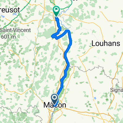
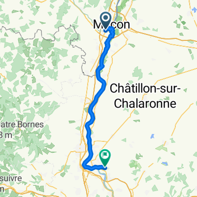
Mâcon Tournus Pont-de-Vaux Milly-Lamartine
A cycling route starting in Mâcon, Bourgogne-Franche-Comté, France.
Overview
About this route
Ride along the Saône and an overview of the slopes of the Maconnais.
- -:--
- Duration
- 115.8 km
- Distance
- 258 m
- Ascent
- 259 m
- Descent
- ---
- Avg. speed
- ---
- Max. altitude
Route quality
Waytypes & surfaces along the route
Waytypes
Path
69.5 km
(60 %)
Quiet road
19.7 km
(17 %)
Surfaces
Paved
54.4 km
(47 %)
Unpaved
33.6 km
(29 %)
Asphalt
53.3 km
(46 %)
Loose gravel
30.1 km
(26 %)
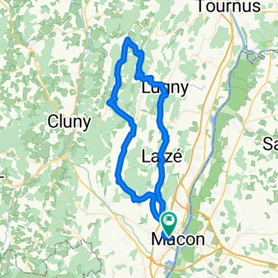
Route highlights
Points of interest along the route
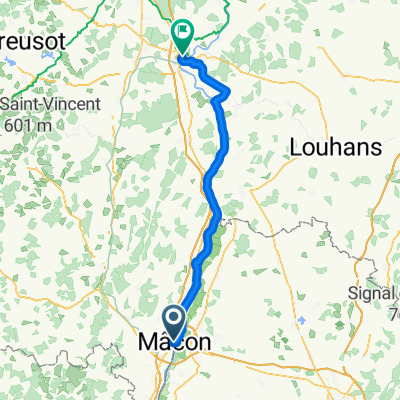
Point of interest after 33.8 km
Camping de Tournus (non municipal)
Point of interest after 53.3 km
Pique-nique près du port
Point of interest after 97.4 km
Chez Laure
Continue with Bikemap
Use, edit, or download this cycling route
You would like to ride Mâcon Tournus Pont-de-Vaux Milly-Lamartine or customize it for your own trip? Here is what you can do with this Bikemap route:
Free features
- Save this route as favorite or in collections
- Copy & plan your own version of this route
- Split it into stages to create a multi-day tour
- Sync your route with Garmin or Wahoo
Premium features
Free trial for 3 days, or one-time payment. More about Bikemap Premium.
- Navigate this route on iOS & Android
- Export a GPX / KML file of this route
- Create your custom printout (try it for free)
- Download this route for offline navigation
Discover more Premium features.
Get Bikemap PremiumFrom our community
Other popular routes starting in Mâcon
 Tour de Bourgogne - Etape 1 de Macôn à Pont des Rigolles - 116km 1980D+
- Distance
- 115.7 km
- Ascent
- 1,411 m
- Descent
- 1,245 m
- Location
- Mâcon, Bourgogne-Franche-Comté, France
 Tour de Bourgogne
- Distance
- 749.4 km
- Ascent
- 876 m
- Descent
- 876 m
- Location
- Mâcon, Bourgogne-Franche-Comté, France
 Rue Paul Gataud, Mâcon à Route de Lyon, Saint-Rémy
- Distance
- 79.4 km
- Ascent
- 189 m
- Descent
- 202 m
- Location
- Mâcon, Bourgogne-Franche-Comté, France
 Borgoña-Definitiva
- Distance
- 593.6 km
- Ascent
- 3,842 m
- Descent
- 3,841 m
- Location
- Mâcon, Bourgogne-Franche-Comté, France
 Tour de Bourgogne du Sud #3
- Distance
- 67.1 km
- Ascent
- 167 m
- Descent
- 177 m
- Location
- Mâcon, Bourgogne-Franche-Comté, France
 Untitled route
- Distance
- 396.4 km
- Ascent
- 1,362 m
- Descent
- 1,457 m
- Location
- Mâcon, Bourgogne-Franche-Comté, France
 68 km - 900 m Péronne Lugny Pistole Blanot Azé Verzé Hurigny
- Distance
- 68.6 km
- Ascent
- 790 m
- Descent
- 790 m
- Location
- Mâcon, Bourgogne-Franche-Comté, France
 Von Mâcon bis Reyrieux
- Distance
- 58.2 km
- Ascent
- 124 m
- Descent
- 122 m
- Location
- Mâcon, Bourgogne-Franche-Comté, France
Open it in the app