Val d'Oise (Orry - Cergy)
- 54.5 km
- 117 m
- 169 m
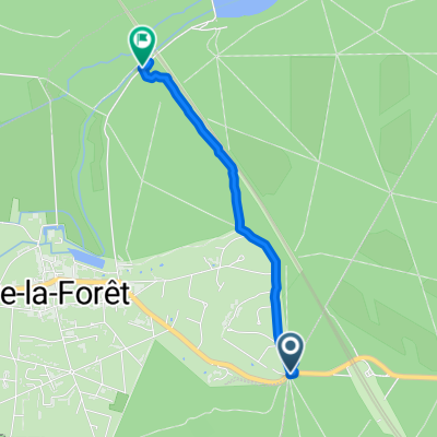
- Coye-la-Forêt, Hauts-de-France, France
A cycling route starting in Coye-la-Forêt, Hauts-de-France, France.
Overview
95% paved 5% unpaved (near Boran sur Oise)
created this 10 years ago
Route quality
Quiet road
20.7 km
(38 %)
Road
6.5 km
(12 %)
Paved
23.5 km
(43 %)
Unpaved
0.5 km
(1 %)
Asphalt
22.9 km
(42 %)
Paved (undefined)
0.5 km
(1 %)
Continue with Bikemap
You would like to ride Val d'Oise (Orry - Cergy) or customize it for your own trip? Here is what you can do with this Bikemap route:
Free trial for 3 days, or one-time payment. More about Bikemap Premium.
Discover more Premium features.
Get Bikemap PremiumFrom our community
Open it in the app