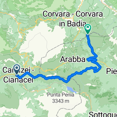
MTB Sellaronda Camp_4 diena_Alpe di Siusi tour
A cycling route starting in Canazei, Trentino-Alto Adige, Italy.
Overview
About this route
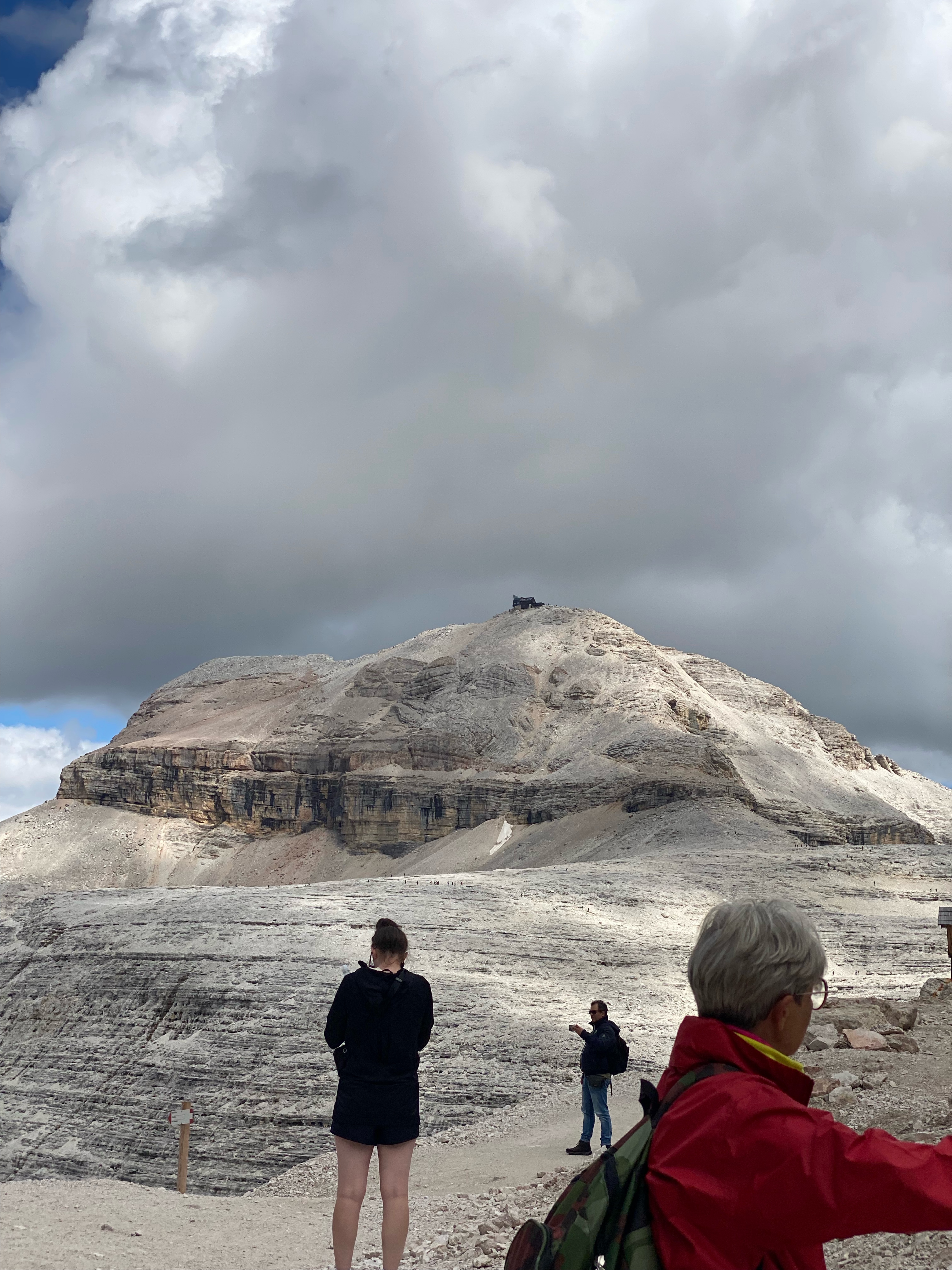
Route: Rif. Passo Sella – Mont de Pana – Sautaria – Compatsch – Spitzbichl – Laurinhutte - Panorama – Aimenrosenhutte - Rif. Alpe di Tires - Pas de Duron - Campitello di Fassa.
Distance: 40 km; Duration: 7 hours; Surface: 95 % gravel, 5% asphalt; Total ascent: 1020 m; Technical level: medium
- -:--
- Duration
- 40.4 km
- Distance
- 943 m
- Ascent
- 1,722 m
- Descent
- ---
- Avg. speed
- ---
- Max. altitude
Continue with Bikemap
Use, edit, or download this cycling route
You would like to ride MTB Sellaronda Camp_4 diena_Alpe di Siusi tour or customize it for your own trip? Here is what you can do with this Bikemap route:
Free features
- Save this route as favorite or in collections
- Copy & plan your own version of this route
- Sync your route with Garmin or Wahoo
Premium features
Free trial for 3 days, or one-time payment. More about Bikemap Premium.
- Navigate this route on iOS & Android
- Export a GPX / KML file of this route
- Create your custom printout (try it for free)
- Download this route for offline navigation
Discover more Premium features.
Get Bikemap PremiumFrom our community
Other popular routes starting in Canazei
Passo delle Erbe- Distance
- 138.5 km
- Ascent
- 3,686 m
- Descent
- 3,661 m
- Location
- Canazei, Trentino-Alto Adige, Italy
Sella Ronda from Canazei anti-clockwise- Distance
- 60.1 km
- Ascent
- 2,960 m
- Descent
- 3,436 m
- Location
- Canazei, Trentino-Alto Adige, Italy
Canazei - Corvara in Badia- Distance
- 26.5 km
- Ascent
- 1,963 m
- Descent
- 1,404 m
- Location
- Canazei, Trentino-Alto Adige, Italy
Passo Pordoi - Predazzo - Daiano- Distance
- 54.8 km
- Ascent
- 314 m
- Descent
- 1,422 m
- Location
- Canazei, Trentino-Alto Adige, Italy
Strèda del Piz do Via di Ciampac- Distance
- 70.3 km
- Ascent
- 2,956 m
- Descent
- 2,954 m
- Location
- Canazei, Trentino-Alto Adige, Italy
San Pellegrino- Distance
- 104.4 km
- Ascent
- 2,319 m
- Descent
- 2,319 m
- Location
- Canazei, Trentino-Alto Adige, Italy
Čtyři sedla- Distance
- 66 km
- Ascent
- 2,353 m
- Descent
- 2,056 m
- Location
- Canazei, Trentino-Alto Adige, Italy
dolomiti1- Distance
- 99.8 km
- Ascent
- 3,988 m
- Descent
- 3,497 m
- Location
- Canazei, Trentino-Alto Adige, Italy
Open it in the app


