5ème étape Fouchal - Vauthiermont
- 112.2 km
- 1,558 m
- 1,736 m
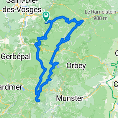
- Ban-de-Laveline, Grand Est, France
A cycling route starting in Ban-de-Laveline, Grand Est, France.
Overview
16072015 provencheres white lake valtin
created this 10 years ago
Route quality
Road
29 km
(28 %)
Quiet road
20.7 km
(20 %)
Paved
57 km
(55 %)
Asphalt
57 km
(55 %)
Undefined
46.6 km
(45 %)
Continue with Bikemap
You would like to ride provencheres-lacblanc-valtin or customize it for your own trip? Here is what you can do with this Bikemap route:
Free trial for 3 days, or one-time payment. More about Bikemap Premium.
Discover more Premium features.
Get Bikemap PremiumFrom our community
Open it in the app