200km + Klettertour
- 203.6 km
- 1,284 m
- 1,235 m
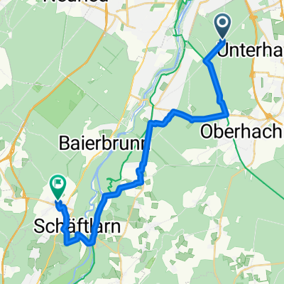
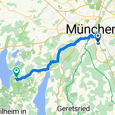
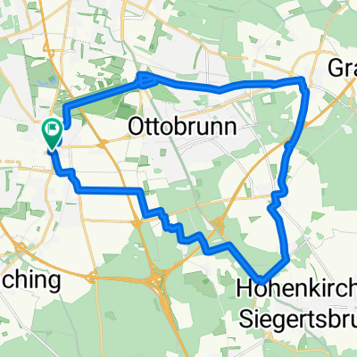
- Unterhaching, Bavaria, Germany
A cycling route starting in Unterhaching, Bavaria, Germany.
Overview
Very nice evening ride from Fasangarten through Perlacher Forst / Deisenhofen / Laufzorn / Straßlach to Mühltal by the Isar canal. Up to here it’s easy with gentle inclines, all paved but usually no traffic. Then it continues paved along the canal and at Brückenwirt (nice beer garden) to the right towards Schäftlarn. Then it’s about 2 KM up Schäftlarner Berg to then turn right into the upper Isarcross bike path. Here it goes up and down a bit. Cross riders should lower the pressure to 2.0 at the entrance here, otherwise it gets quite bumpy due to the gravel. From Gründwald, it then returns along well-developed bike paths along the Isar until Tierparkberg with its 13 % beckons. Good to have a triple! Enjoy!
created this 10 years ago
Route highlights
Achtung: Diese Abfahrt sieht man kaum! Ist nur ein Miniweg nach unten, Breite unter 1 m!
Continue with Bikemap
You would like to ride Mü-Fasangarten - Rundweg Strasse/Kiesel/Schotter MTB oder Cyclo-Cross or customize it for your own trip? Here is what you can do with this Bikemap route:
Free trial for 3 days, or one-time payment. More about Bikemap Premium.
Discover more Premium features.
Get Bikemap PremiumFrom our community
Open it in the app