- 31.8 km
- 511 m
- 629 m
- Hinterweidenthal, Rhineland-Palatinate, Germany
Gerdas Lieblingstour
A cycling route starting in Hinterweidenthal, Rhineland-Palatinate, Germany.
Overview
About this route
From Hinterweidenthal (Parking at the former station, also here from the station H.-Kaltenbach) through the valley of Wieslauter to Bundental, over Rumbach to Schönau, to Hirschthal across the border into Alsace, through hilly terrain back to the Palatinate via Stürzelbronn, and through the Wieslautertal back to the starting point.
Due to partially unpaved trail sections, not very suitable for racing bikes;
- -:--
- Duration
- 94.6 km
- Distance
- 483 m
- Ascent
- 485 m
- Descent
- ---
- Avg. speed
- ---
- Max. altitude
created this 10 years ago
Route quality
Waytypes & surfaces along the route
Waytypes
Track
30.3 km
(32 %)
Quiet road
23.7 km
(25 %)
Surfaces
Paved
71 km
(75 %)
Unpaved
5.7 km
(6 %)
Asphalt
64.4 km
(68 %)
Gravel
5.7 km
(6 %)
Continue with Bikemap
Use, edit, or download this cycling route
You would like to ride Gerdas Lieblingstour or customize it for your own trip? Here is what you can do with this Bikemap route:
Free features
- Save this route as favorite or in collections
- Copy & plan your own version of this route
- Split it into stages to create a multi-day tour
- Sync your route with Garmin or Wahoo
Premium features
Free trial for 3 days, or one-time payment. More about Bikemap Premium.
- Navigate this route on iOS & Android
- Export a GPX / KML file of this route
- Create your custom printout (try it for free)
- Download this route for offline navigation
Discover more Premium features.
Get Bikemap PremiumFrom our community
Other popular routes starting in Hinterweidenthal
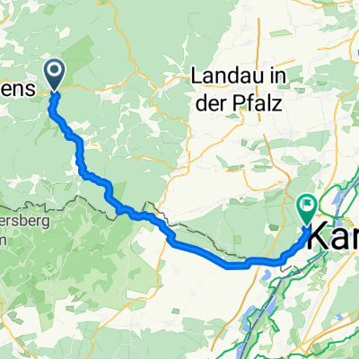
- Hinterweidenthal - Rohrbach
- Gerdas Lieblingstour
- 94.6 km
- 483 m
- 485 m
- Hinterweidenthal, Rhineland-Palatinate, Germany
- Pfalz Tour 4
- 47.3 km
- 875 m
- 873 m
- Hinterweidenthal, Rhineland-Palatinate, Germany
- Dahn-Amercia Ost
- 48.2 km
- 966 m
- 969 m
- Hinterweidenthal, Rhineland-Palatinate, Germany
- P E-MTB Bitche
- 88 km
- 505 m
- 502 m
- Hinterweidenthal, Rhineland-Palatinate, Germany
- Durch die Südpfalz
- 79.2 km
- 480 m
- 478 m
- Hinterweidenthal, Rhineland-Palatinate, Germany
- P Bremendell-Hirschthal RR 86km
- 85.6 km
- 533 m
- 533 m
- Hinterweidenthal, Rhineland-Palatinate, Germany
- Von Hinterweidenthal bis Hagenbach
- 61.8 km
- 987 m
- 1,124 m
- Hinterweidenthal, Rhineland-Palatinate, Germany
Open it in the app


