
Saguenay Lac-St-jean - Aout 2010
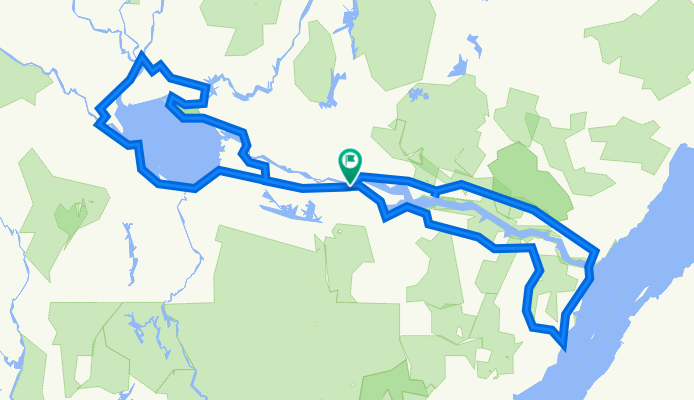
A cycling route starting in Saguenay, Quebec, Canada.
Overview
About this route
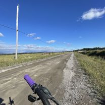
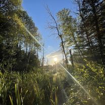
Trip with Charles from August 20 to 29, 2010
Statistics:
KM: 807 km
Number of riding days: 8 days
Average km/day: 101 km / day
Total cumulative ascent: 6811 m
Average speed: 18.5 km/h
Time in motion: 43.5 hours
- -:--
- Duration
- 656.1 km
- Distance
- 1,323 m
- Ascent
- 1,311 m
- Descent
- ---
- Avg. speed
- ---
- Max. altitude

Route quality
Waytypes & surfaces along the route
Waytypes
Cycleway
170.6 km
(26 %)
Road
91.9 km
(14 %)
Surfaces
Paved
439.6 km
(67 %)
Unpaved
52.5 km
(8 %)
Asphalt
301.8 km
(46 %)
Paved (undefined)
137.8 km
(21 %)
Continue with Bikemap
Use, edit, or download this cycling route
You would like to ride Saguenay Lac-St-jean - Aout 2010 or customize it for your own trip? Here is what you can do with this Bikemap route:
Free features
- Save this route as favorite or in collections
- Copy & plan your own version of this route
- Split it into stages to create a multi-day tour
- Sync your route with Garmin or Wahoo
Premium features
Free trial for 3 days, or one-time payment. More about Bikemap Premium.
- Navigate this route on iOS & Android
- Export a GPX / KML file of this route
- Create your custom printout (try it for free)
- Download this route for offline navigation
Discover more Premium features.
Get Bikemap PremiumFrom our community
Other popular routes starting in Saguenay
 1er Avenue, St-Honoré à Rue du Parc, St-Honoré
- Distance
- 14.7 km
- Ascent
- 84 m
- Descent
- 88 m
- Location
- Saguenay, Quebec, Canada
 07. Saguenay - Baie St.Paul
- Distance
- 239.6 km
- Ascent
- 1,867 m
- Descent
- 1,846 m
- Location
- Saguenay, Quebec, Canada
 ptit tour aléatoire
- Distance
- 9.2 km
- Ascent
- 79 m
- Descent
- 79 m
- Location
- Saguenay, Quebec, Canada
 Jour 6 - Chicoutimi/Péribonka (Parc de Pointe-Taillon)
- Distance
- 88 km
- Ascent
- 355 m
- Descent
- 256 m
- Location
- Saguenay, Quebec, Canada
 01. La Baie (10 giri)
- Distance
- 15 km
- Ascent
- 187 m
- Descent
- 188 m
- Location
- Saguenay, Quebec, Canada
 Steady ride
- Distance
- 31.7 km
- Ascent
- 195 m
- Descent
- 167 m
- Location
- Saguenay, Quebec, Canada
 boucle derrière l’école
- Distance
- 5.6 km
- Ascent
- 210 m
- Descent
- 211 m
- Location
- Saguenay, Quebec, Canada
 Rue du Parc, St-Honoré à Rue du Parc, St-Honoré
- Distance
- 14.4 km
- Ascent
- 66 m
- Descent
- 68 m
- Location
- Saguenay, Quebec, Canada
Open it in the app