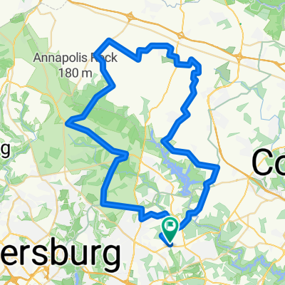
210 Haviland Mill Rd, Ashton to 210 Haviland Mill Rd, Ashton
- 5.1 km
- 110 m
- 126 m
- Ashton-Sandy Spring, Maryland, United States
A cycling route starting in Ashton-Sandy Spring, Maryland, United States.
Overview
Virginie 1 - October 14 to 21, 2008
Route done with Charles Julien
Statistics:
KM: 645km
Total cumulative ascent: 6767m
Max altitude: 1029m
Time in motion: 39h
Average speed: 16.6 km/h
Max speed: 67.3 km/h
created this 10 years ago
Continue with Bikemap
You would like to ride Virginie no1 - trajet effectue or customize it for your own trip? Here is what you can do with this Bikemap route:
Free trial for 3 days, or one-time payment. More about Bikemap Premium.
Discover more Premium features.
Get Bikemap PremiumFrom our community
Open it in the app