

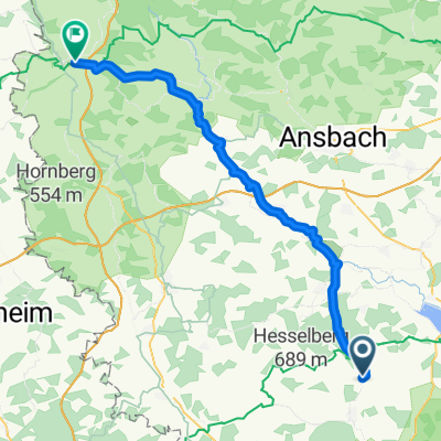
Wassertrüdingen
A cycling route starting in Unterschwaningen, Bavaria, Germany.
Overview
About this route
From Unterschwaningen to Wassertrüdingen
- -:--
- Duration
- 4.9 km
- Distance
- 11 m
- Ascent
- 18 m
- Descent
- ---
- Avg. speed
- 440 m
- Max. altitude
Route quality
Waytypes & surfaces along the route
Waytypes
Quiet road
3.1 km
(63 %)
Road
0.7 km
(14 %)
Surfaces
Paved
2.1 km
(43 %)
Asphalt
2.1 km
(43 %)
Undefined
2.8 km
(57 %)
Continue with Bikemap
Use, edit, or download this cycling route
You would like to ride Wassertrüdingen or customize it for your own trip? Here is what you can do with this Bikemap route:
Free features
- Save this route as favorite or in collections
- Copy & plan your own version of this route
- Sync your route with Garmin or Wahoo
Premium features
Free trial for 3 days, or one-time payment. More about Bikemap Premium.
- Navigate this route on iOS & Android
- Export a GPX / KML file of this route
- Create your custom printout (try it for free)
- Download this route for offline navigation
Discover more Premium features.
Get Bikemap PremiumFrom our community
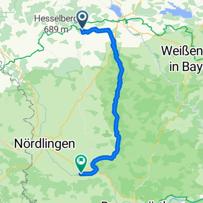
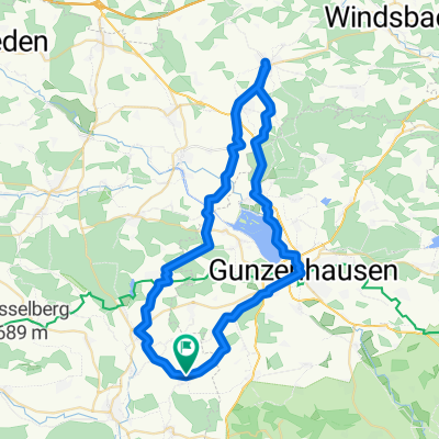
Other popular routes starting in Unterschwaningen
 Brombachsee Süd
- Distance
- 62.2 km
- Ascent
- 284 m
- Descent
- 308 m
- Location
- Unterschwaningen, Bavaria, Germany
 Unterschwaningen - Rothenburg ob der Tauber
- Distance
- 57.9 km
- Ascent
- 352 m
- Descent
- 373 m
- Location
- Unterschwaningen, Bavaria, Germany
 Dennenloher See
- Distance
- 48.2 km
- Ascent
- 455 m
- Descent
- 560 m
- Location
- Unterschwaningen, Bavaria, Germany
 Dennenlohe 1, Unterschwaningen to Grabenweg 6, Muhr am See
- Distance
- 12.9 km
- Ascent
- 104 m
- Descent
- 142 m
- Location
- Unterschwaningen, Bavaria, Germany
 Dennenlohe_KS
- Distance
- 56.2 km
- Ascent
- 685 m
- Descent
- 711 m
- Location
- Unterschwaningen, Bavaria, Germany
 Dennenloher See nach Bechhofen
- Distance
- 10.2 km
- Ascent
- 38 m
- Descent
- 59 m
- Location
- Unterschwaningen, Bavaria, Germany
 Wassertrüdingen
- Distance
- 4.9 km
- Ascent
- 11 m
- Descent
- 18 m
- Location
- Unterschwaningen, Bavaria, Germany
 Karfreitag
- Distance
- 52.9 km
- Ascent
- 215 m
- Descent
- 214 m
- Location
- Unterschwaningen, Bavaria, Germany
Open it in the app