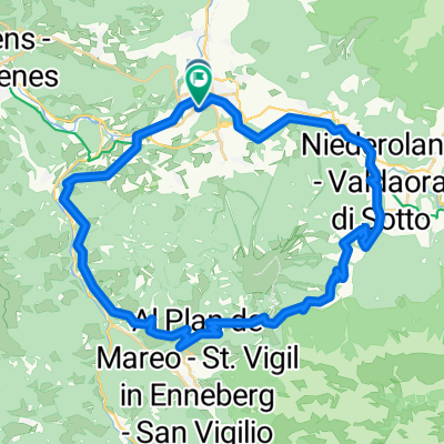
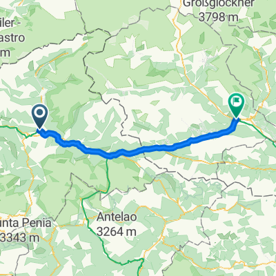
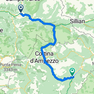
Brunico, CampoTures, Riva di Tures, Passo di gola, Erlsbach (A), Passo Stalle, Anterselva, Valdaora, Brunico
A cycling route starting in Bruneck, Trentino-Alto Adige, Italy.
Overview
About this route
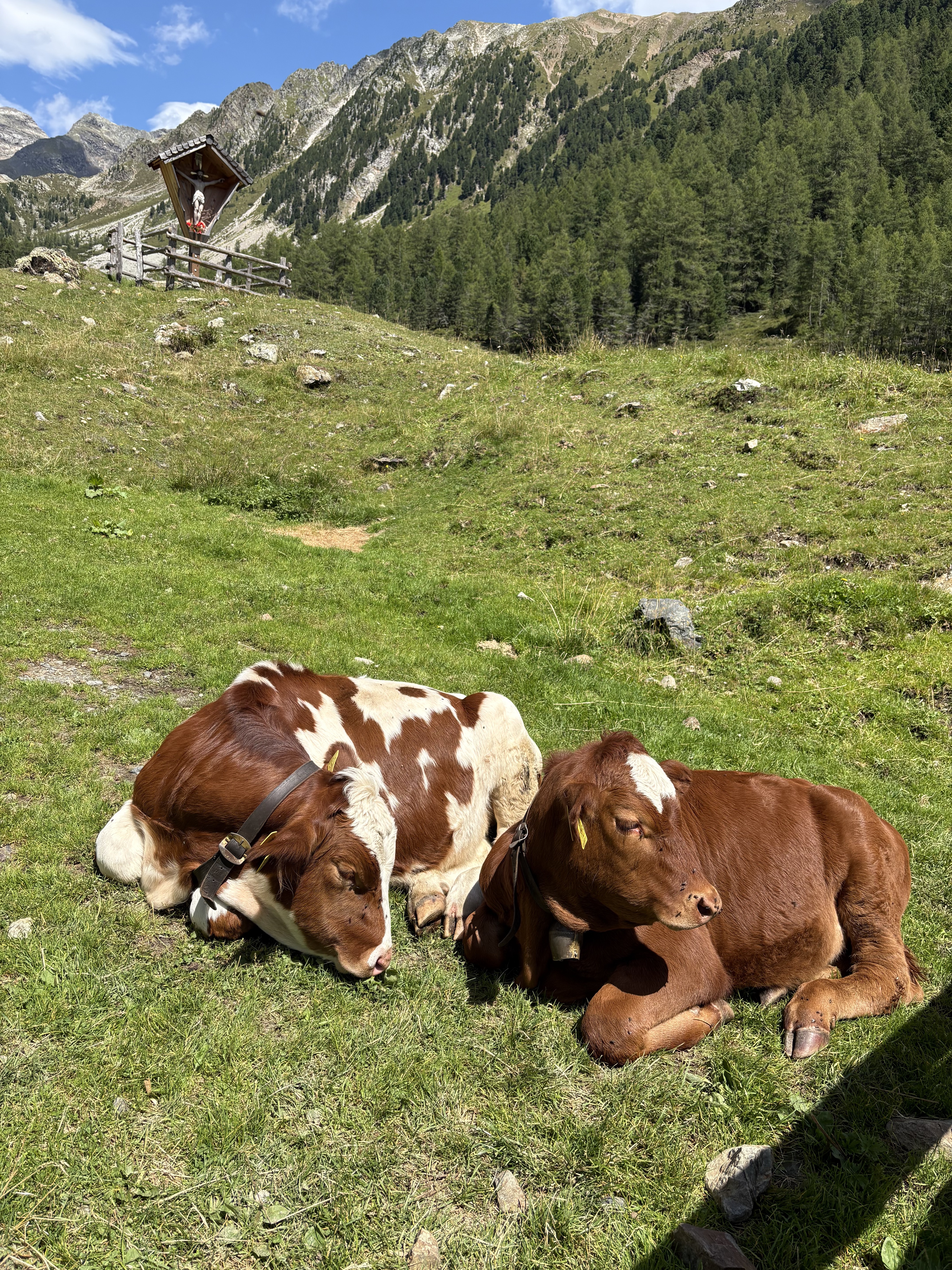
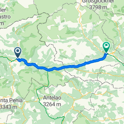
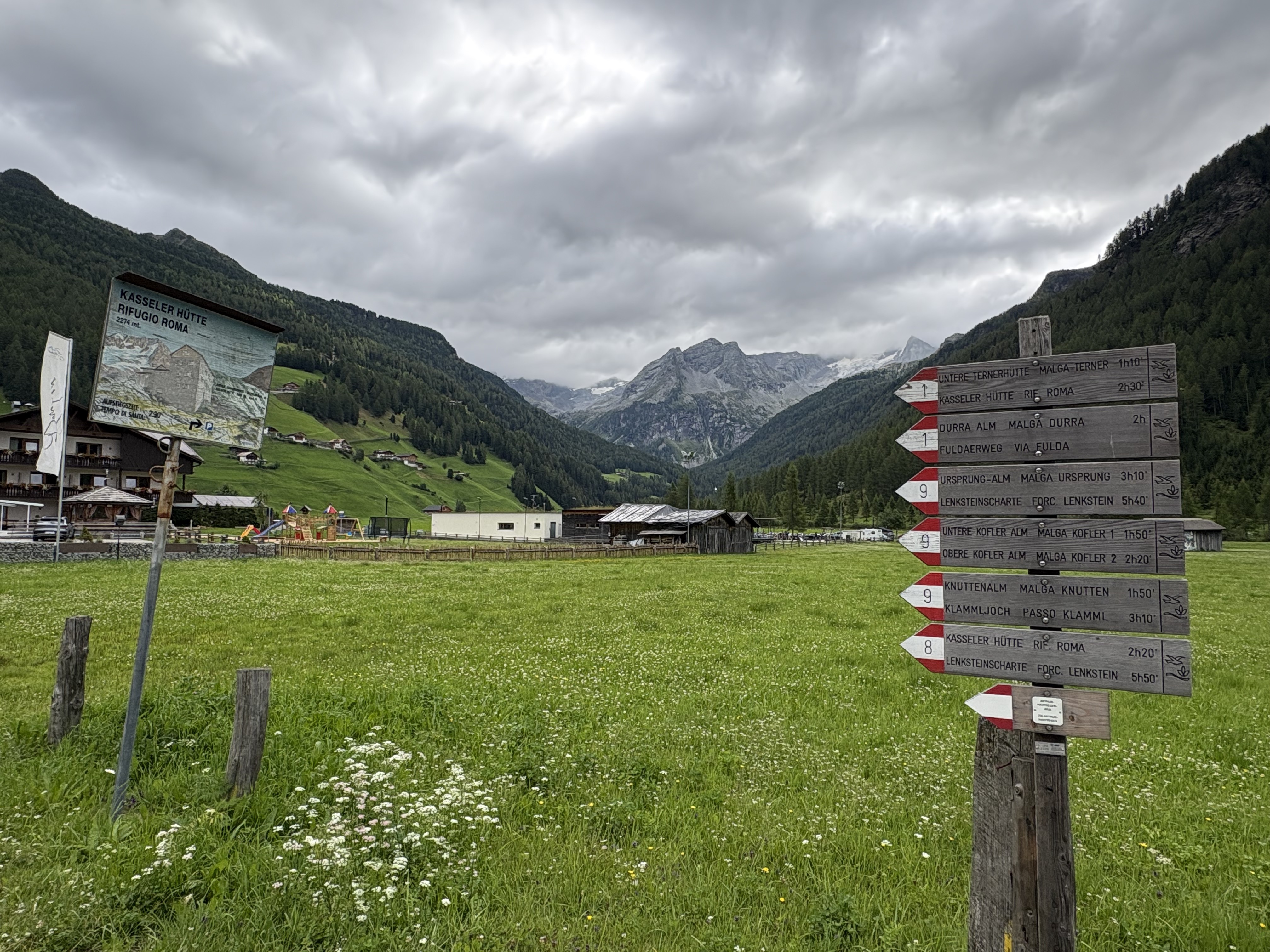
Beautiful circular route Italy-Austria between the Vedrette di Ries Nature Park and the Hohe Tauern National Park (Austria). A very challenging outing to tackle between July and August exclusively on a mountain bike ;)
(cloned from route 2755291)
- -:--
- Duration
- 91.5 km
- Distance
- 1,940 m
- Ascent
- 1,940 m
- Descent
- ---
- Avg. speed
- ---
- Max. altitude
Route quality
Waytypes & surfaces along the route
Waytypes
Track
22 km
(24 %)
Quiet road
17.4 km
(19 %)
Surfaces
Paved
64 km
(70 %)
Unpaved
14.6 km
(16 %)
Asphalt
57.6 km
(63 %)
Gravel
7.3 km
(8 %)
Continue with Bikemap
Use, edit, or download this cycling route
You would like to ride Brunico, CampoTures, Riva di Tures, Passo di gola, Erlsbach (A), Passo Stalle, Anterselva, Valdaora, Brunico or customize it for your own trip? Here is what you can do with this Bikemap route:
Free features
- Save this route as favorite or in collections
- Copy & plan your own version of this route
- Split it into stages to create a multi-day tour
- Sync your route with Garmin or Wahoo
Premium features
Free trial for 3 days, or one-time payment. More about Bikemap Premium.
- Navigate this route on iOS & Android
- Export a GPX / KML file of this route
- Create your custom printout (try it for free)
- Download this route for offline navigation
Discover more Premium features.
Get Bikemap PremiumFrom our community
Other popular routes starting in Bruneck
- Brunico, CampoTures, Riva di Tures, Passo di gola, Erlsbach (A), Passo Stalle, Anterselva, Valdaora, Brunico
- Distance
- 91.5 km
- Ascent
- 1,940 m
- Descent
- 1,940 m
- Location
- Bruneck, Trentino-Alto Adige, Italy
- Bruneck - Toblach
- Distance
- 30 km
- Ascent
- 446 m
- Descent
- 83 m
- Location
- Bruneck, Trentino-Alto Adige, Italy
- Dolomiten 2014: Bruneck - Furkelsattel - Kronplatz
- Distance
- 56.2 km
- Ascent
- 1,485 m
- Descent
- 1,486 m
- Location
- Bruneck, Trentino-Alto Adige, Italy
- 2. etappe, 11. mai, Brunico via Lago di Braies til Dobbiaco
- Distance
- 43.4 km
- Ascent
- 1,171 m
- Descent
- 793 m
- Location
- Bruneck, Trentino-Alto Adige, Italy
- PVP 13: Brunico-Dobbiaco
- Distance
- 35.4 km
- Ascent
- 560 m
- Descent
- 135 m
- Location
- Bruneck, Trentino-Alto Adige, Italy
- Brunico-Tesido in relax
- Distance
- 21.8 km
- Ascent
- 593 m
- Descent
- 121 m
- Location
- Bruneck, Trentino-Alto Adige, Italy
- um den Kronplatz
- Distance
- 46.6 km
- Ascent
- 1,149 m
- Descent
- 1,149 m
- Location
- Bruneck, Trentino-Alto Adige, Italy
- Bruneck Sennes Cortina Plätzwiese Prags Bruneck
- Distance
- 100.4 km
- Ascent
- 2,124 m
- Descent
- 2,124 m
- Location
- Bruneck, Trentino-Alto Adige, Italy
Open it in the app