
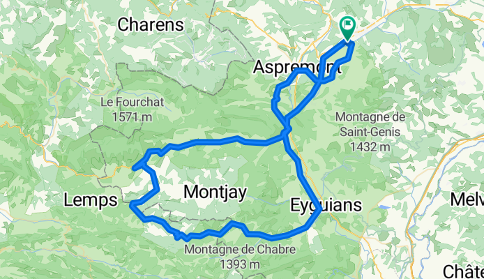

Veynes - Col du Reychasset - Col de la Saulce - Veynes
- 109.1 km
- 1,081 m
- 1,081 m
- Veynes, Provence-Alpes-Côte d'Azur Region, France
A cycling route starting in Veynes, Provence-Alpes-Côte d'Azur Region, France.
Overview
Loop route with the option to follow the same itinerary from Serres as on the way there. This allows avoiding some high-traffic roads.
created this 10 years ago
Route quality
Road
64.4 km
(59 %)
Quiet road
5.5 km
(5 %)
Paved
57.8 km
(53 %)
Unpaved
2.2 km
(2 %)
Asphalt
53.5 km
(49 %)
Paved (undefined)
4.4 km
(4 %)
Continue with Bikemap
You would like to ride Veynes - Col du Reychasset - Col de la Saulce - Veynes or customize it for your own trip? Here is what you can do with this Bikemap route:
Free trial for 3 days, or one-time payment. More about Bikemap Premium.
Discover more Premium features.
Get Bikemap PremiumFrom our community
Open it in the app


