

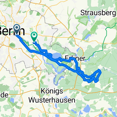
Sunsetherbstrunde
A cycling route starting in Treptow, State of Berlin, Germany.
Overview
About this route
Best ride around Neukölln ever
- -:--
- Duration
- 35.4 km
- Distance
- 38 m
- Ascent
- 34 m
- Descent
- ---
- Avg. speed
- 48 m
- Max. altitude

Route quality
Waytypes & surfaces along the route
Waytypes
Path
10.3 km
(29 %)
Road
9.9 km
(28 %)
Surfaces
Paved
28.3 km
(80 %)
Unpaved
1.8 km
(5 %)
Asphalt
27.6 km
(78 %)
Ground
1.1 km
(3 %)
Continue with Bikemap
Use, edit, or download this cycling route
You would like to ride Sunsetherbstrunde or customize it for your own trip? Here is what you can do with this Bikemap route:
Free features
- Save this route as favorite or in collections
- Copy & plan your own version of this route
- Sync your route with Garmin or Wahoo
Premium features
Free trial for 3 days, or one-time payment. More about Bikemap Premium.
- Navigate this route on iOS & Android
- Export a GPX / KML file of this route
- Create your custom printout (try it for free)
- Download this route for offline navigation
Discover more Premium features.
Get Bikemap PremiumFrom our community
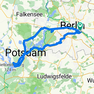
Other popular routes starting in Treptow
 Spreewiesentour
- Distance
- 86.3 km
- Ascent
- 228 m
- Descent
- 222 m
- Location
- Treptow, State of Berlin, Germany
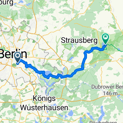 Treptow - Buckow
- Distance
- 70.2 km
- Ascent
- 281 m
- Descent
- 303 m
- Location
- Treptow, State of Berlin, Germany
 Wiener Straße, Berlin to Kurfürstendamm, Berlin
- Distance
- 9.2 km
- Ascent
- 27 m
- Descent
- 36 m
- Location
- Treptow, State of Berlin, Germany
 Wrangelstraße, Berlin to Wrangelstraße, Berlin
- Distance
- 104.1 km
- Ascent
- 569 m
- Descent
- 569 m
- Location
- Treptow, State of Berlin, Germany
 nah am wasser gebaut
- Distance
- 15 km
- Ascent
- 19 m
- Descent
- 32 m
- Location
- Treptow, State of Berlin, Germany
 Sunsetherbstrunde
- Distance
- 35.4 km
- Ascent
- 38 m
- Descent
- 34 m
- Location
- Treptow, State of Berlin, Germany
 Berlin-Darmstadt Rennrad
- Distance
- 558.2 km
- Ascent
- 1,417 m
- Descent
- 1,315 m
- Location
- Treptow, State of Berlin, Germany
 F'hain - Schöneweide - Gropiusstadt - Neukölln - F'hain
- Distance
- 26.4 km
- Ascent
- 31 m
- Descent
- 15 m
- Location
- Treptow, State of Berlin, Germany
Open it in the app