

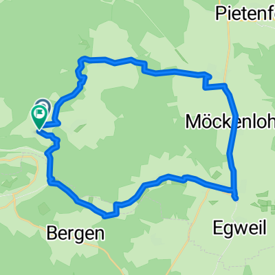
Aicha-Tagmersheim-Dollnstein-Aicha
A cycling route starting in Adelschlag, Bavaria, Germany.
Overview
About this route
Aicharunde
- -:--
- Duration
- 39.4 km
- Distance
- 633 m
- Ascent
- 643 m
- Descent
- ---
- Avg. speed
- ---
- Max. altitude
Route quality
Waytypes & surfaces along the route
Waytypes
Quiet road
20.1 km
(51 %)
Track
10.6 km
(27 %)
Surfaces
Paved
16.2 km
(41 %)
Unpaved
9.5 km
(24 %)
Asphalt
15 km
(38 %)
Gravel
9.1 km
(23 %)
Continue with Bikemap
Use, edit, or download this cycling route
You would like to ride Aicha-Tagmersheim-Dollnstein-Aicha or customize it for your own trip? Here is what you can do with this Bikemap route:
Free features
- Save this route as favorite or in collections
- Copy & plan your own version of this route
- Sync your route with Garmin or Wahoo
Premium features
Free trial for 3 days, or one-time payment. More about Bikemap Premium.
- Navigate this route on iOS & Android
- Export a GPX / KML file of this route
- Create your custom printout (try it for free)
- Download this route for offline navigation
Discover more Premium features.
Get Bikemap PremiumFrom our community
Other popular routes starting in Adelschlag
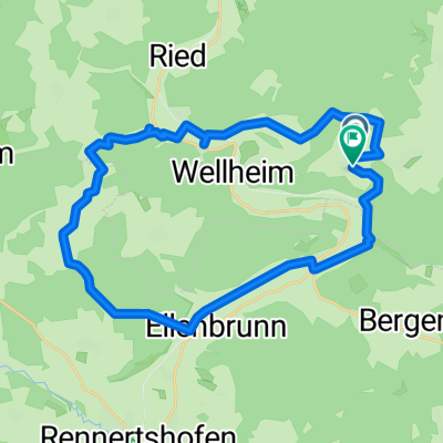
 BY-Rundtour Wellheim
- Distance
- 99 km
- Ascent
- 1,056 m
- Descent
- 1,057 m
- Location
- Adelschlag, Bavaria, Germany
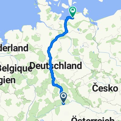 Von Adelschlag bis Rostock
- Distance
- 904.7 km
- Ascent
- 5,469 m
- Descent
- 5,897 m
- Location
- Adelschlag, Bavaria, Germany
 Tom's lustige Runde
- Distance
- 70.9 km
- Ascent
- 541 m
- Descent
- 535 m
- Location
- Adelschlag, Bavaria, Germany
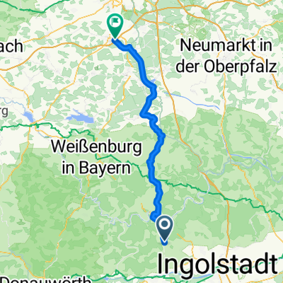 Adelschlag - Schwabach
- Distance
- 78.3 km
- Ascent
- 858 m
- Descent
- 958 m
- Location
- Adelschlag, Bavaria, Germany
 Aicha-Tagmersheim-Dollnstein-Aicha
- Distance
- 39.4 km
- Ascent
- 633 m
- Descent
- 643 m
- Location
- Adelschlag, Bavaria, Germany
 Möckenlohe - Dollnstein - Möckenlohe
- Distance
- 52.2 km
- Ascent
- 214 m
- Descent
- 213 m
- Location
- Adelschlag, Bavaria, Germany
 Hard-Adelschlag-Hard
- Distance
- 27.9 km
- Ascent
- 425 m
- Descent
- 427 m
- Location
- Adelschlag, Bavaria, Germany
 Hard-Konstein-Ellenbrunn-Hard
- Distance
- 27.7 km
- Ascent
- 553 m
- Descent
- 553 m
- Location
- Adelschlag, Bavaria, Germany
Open it in the app