

Fasch_Furka_Duenserberg
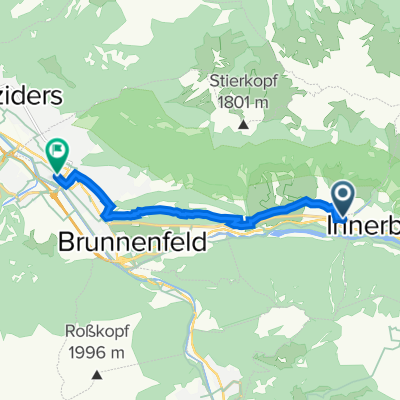
A cycling route starting in Innerbraz, Vorarlberg, Austria.
Overview
About this route
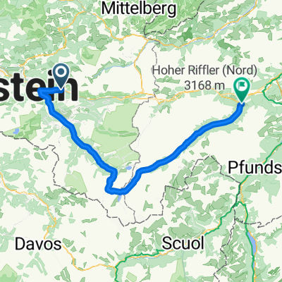
1
Faschina + Furkajoch over Dünserberg
- -:--
- Duration
- 105.4 km
- Distance
- 2,319 m
- Ascent
- 2,319 m
- Descent
- ---
- Avg. speed
- ---
- Max. altitude
Markus
created this 10 years ago
Route quality
Waytypes & surfaces along the route
Waytypes
Quiet road
23.2 km
22 %
Road
12.7 km
12 %
Surfaces
Paved
100.2 km
(95 %)
Unpaved
3.2 km
(3 %)
Asphalt
100.2 km
95 %
Gravel
3.2 km
3 %
Undefined
2.1 km
2 %
Continue with Bikemap
Use, edit, or download this cycling route
You would like to ride Fasch_Furka_Duenserberg or customize it for your own trip? Here is what you can do with this Bikemap route:
Free features
- Save this route as favorite or in collections
- Copy & plan your own version of this route
- Split it into stages to create a multi-day tour
- Sync your route with Garmin or Wahoo
Premium features
Free trial for 3 days, or one-time payment. More about Bikemap Premium.
- Navigate this route on iOS & Android
- Export a GPX / KML file of this route
- Create your custom printout (try it for free)
- Download this route for offline navigation
Discover more Premium features.
Get Bikemap PremiumFrom our community
Other popular routes starting in Innerbraz
- Klostertaler Straße 6, Außerbraz nach Klostertaler Straße 6, Außerbraz2
- 35.7 km
- 1,293 m
- 1,293 m
- Innerbraz, Vorarlberg, Austria
- bludenz flexenpass damüls fontanella bludenz CLONED FROM ROUTE 2135850
- 113.5 km
- 2,288 m
- 2,295 m
- Innerbraz, Vorarlberg, Austria


Open it in the app