Trailschaukel Eisenach
A cycling route starting in Eisenach, Thuringia, Germany.
Overview
About this route
Single Trails von Physioterrorist um Eisenach
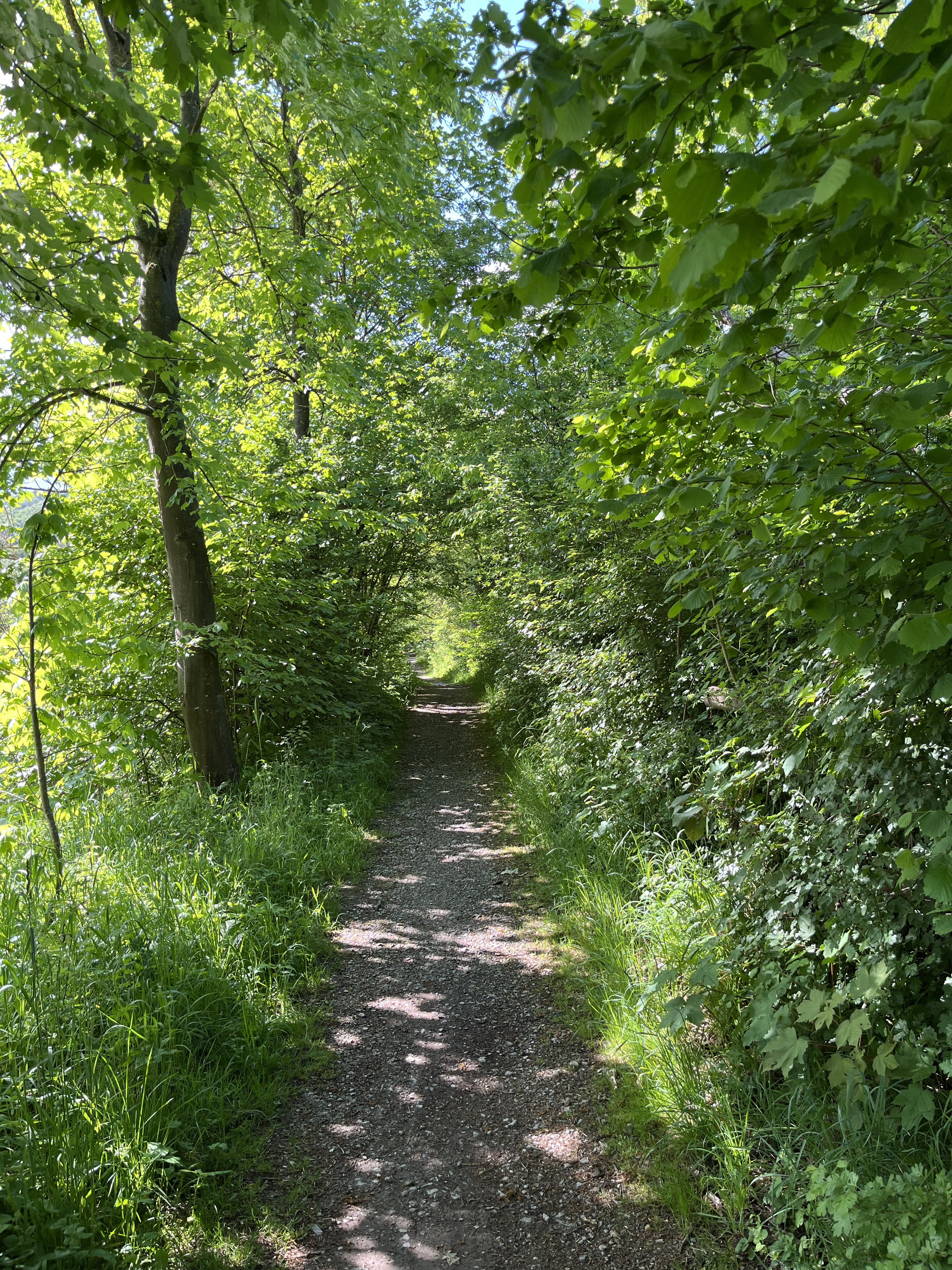
über 80% Single Trails die teilweise S1 - S2 Niveau haben (Treppen, Steilabfahrten, Spitzkehren, Wurzelteppiche, Drops) nur für MTB befahrbar vereinzelt Tragepassagen berggauf wie auch bergab Schwindelfreiheit ist ein Muss durch Baumfällarbeiten sind einige Trails fies blockiert besser in einer Gruppe befahren! Um bei Unfällen/Abstürzen Hilfe zu bekommen Oversize-Lenker Biker müssen an wenigen Passagen tragen laut Navi 1500 Höhenmeter!!! Wege im Gelände teilweise nur zu erahnen (cloned from route 1811782)- -:--
- Duration
- 35.8 km
- Distance
- 923 m
- Ascent
- 923 m
- Descent
- ---
- Avg. speed
- ---
- Max. altitude
Continue with Bikemap
Use, edit, or download this cycling route
You would like to ride Trailschaukel Eisenach or customize it for your own trip? Here is what you can do with this Bikemap route:
Free features
- Save this route as favorite or in collections
- Copy & plan your own version of this route
- Sync your route with Garmin or Wahoo
Premium features
Free trial for 3 days, or one-time payment. More about Bikemap Premium.
- Navigate this route on iOS & Android
- Export a GPX / KML file of this route
- Create your custom printout (try it for free)
- Download this route for offline navigation
Discover more Premium features.
Get Bikemap PremiumFrom our community
Other popular routes starting in Eisenach
 Goethestraße, Eisenach nach Planstraße, Amt Creuzburg
- Distance
- 26.1 km
- Ascent
- 394 m
- Descent
- 431 m
- Location
- Eisenach, Thuringia, Germany
 Rund um den Hainich_t
- Distance
- 116.4 km
- Ascent
- 1,237 m
- Descent
- 1,239 m
- Location
- Eisenach, Thuringia, Germany
 Zentraler Thüringer Wald
- Distance
- 99.9 km
- Ascent
- 1,260 m
- Descent
- 1,260 m
- Location
- Eisenach, Thuringia, Germany
 12.07.24 Eisenach-Wilhelmglücksbrunn
- Distance
- 34.3 km
- Ascent
- 245 m
- Descent
- 245 m
- Location
- Eisenach, Thuringia, Germany
 kurze Tour
- Distance
- 17.3 km
- Ascent
- 213 m
- Descent
- 205 m
- Location
- Eisenach, Thuringia, Germany
 Eisenach -Kerspenhausen
- Distance
- 79.7 km
- Ascent
- 537 m
- Descent
- 549 m
- Location
- Eisenach, Thuringia, Germany
 Trailschaukel Eisenach
- Distance
- 35.8 km
- Ascent
- 923 m
- Descent
- 923 m
- Location
- Eisenach, Thuringia, Germany
 Eisenach-Gotha
- Distance
- 43.2 km
- Ascent
- 272 m
- Descent
- 190 m
- Location
- Eisenach, Thuringia, Germany
Open it in the app

