


JR_ColDeVence_MontJalla_ViergeNoire
- 26.2 km
- 706 m
- 705 m
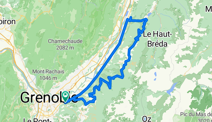
- Gières, Auvergne-Rhône-Alpes, France
A cycling route starting in Gières, Auvergne-Rhône-Alpes, France.
Overview
None (cloned from route 1881484)
created this 10 years ago
Route quality
Road
24.6 km
(27 %)
Quiet road
13.7 km
(15 %)
Paved
45.6 km
(50 %)
Unpaved
0.9 km
(1 %)
Asphalt
45.6 km
(50 %)
Ground
0.9 km
(1 %)
Undefined
44.7 km
(49 %)
Continue with Bikemap
You would like to ride Balcon de Belledonne or customize it for your own trip? Here is what you can do with this Bikemap route:
Free trial for 3 days, or one-time payment. More about Bikemap Premium.
Discover more Premium features.
Get Bikemap PremiumFrom our community
Open it in the app


