Rundweg durch die Vintgar-Schlucht
- 5.6 km
- 242 m
- 239 m
- Zgornje Gorje, Municipality of Gorje, Slovenia
A cycling route starting in Zgornje Gorje, Municipality of Gorje, Slovenia.
Overview
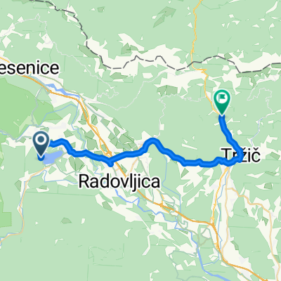
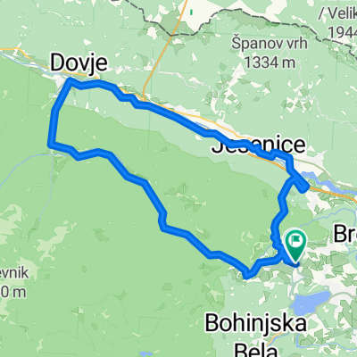
Bled (Vintgar gorge hike)
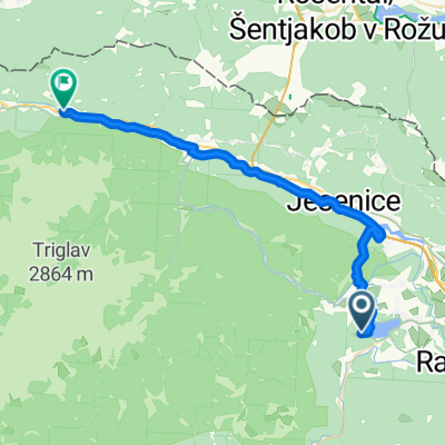
Bled - Bovec (old railway + 1000 m elevation gain)
Bovec (rafting)
Bovec - Koritnica (best camping :))
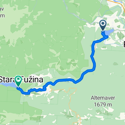
Koritnica - Bohinj (1000 m elevation gain)
Bohinj lake + Vogel (hike)
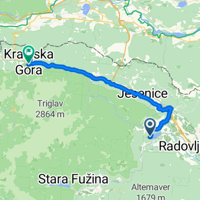
Ukanc - Bled
created this 10 years ago
Route quality
Quiet road
59.3 km
(26 %)
Cycleway
36.5 km
(16 %)
Paved
214.3 km
(94 %)
Unpaved
2.3 km
(1 %)
Asphalt
193.8 km
(85 %)
Paved (undefined)
20.5 km
(9 %)
Continue with Bikemap
You would like to ride Szlovéniai élménykör or customize it for your own trip? Here is what you can do with this Bikemap route:
Free trial for 3 days, or one-time payment. More about Bikemap Premium.
Discover more Premium features.
Get Bikemap PremiumFrom our community
Open it in the app