
Col des Limouches & Col de Tourniol
A cycling route starting in Chatuzange-le-Goubet, Auvergne-Rhône-Alpes, France.
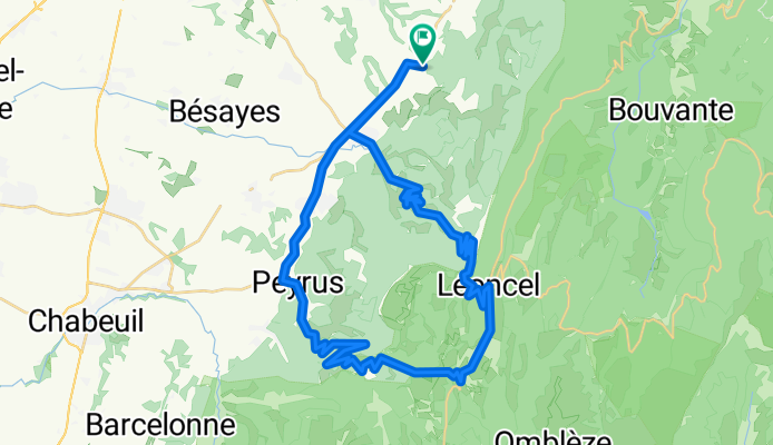
Overview
About this route
From Camping Combe d'Oyans. I've done it by racebike. The descent of the Tourniol is not nice (bad road) so better do it in reverse (climb Tourniol, descent Limouches)
- -:--
- Duration
- 47.1 km
- Distance
- 970 m
- Ascent
- 970 m
- Descent
- ---
- Avg. speed
- ---
- Max. altitude
Route quality
Waytypes & surfaces along the route
Waytypes
Road
23.6 km
(50 %)
Path
2.4 km
(5 %)
Surfaces
Paved
26.4 km
(56 %)
Asphalt
26.4 km
(56 %)
Undefined
20.7 km
(44 %)
Continue with Bikemap
Use, edit, or download this cycling route
You would like to ride Col des Limouches & Col de Tourniol or customize it for your own trip? Here is what you can do with this Bikemap route:
Free features
- Save this route as favorite or in collections
- Copy & plan your own version of this route
- Sync your route with Garmin or Wahoo
Premium features
Free trial for 3 days, or one-time payment. More about Bikemap Premium.
- Navigate this route on iOS & Android
- Export a GPX / KML file of this route
- Create your custom printout (try it for free)
- Download this route for offline navigation
Discover more Premium features.
Get Bikemap PremiumFrom our community
Other popular routes starting in Chatuzange-le-Goubet
 Col de Tourniol op, Col des Limouches af
- Distance
- 46.8 km
- Ascent
- 1,048 m
- Descent
- 1,048 m
- Location
- Chatuzange-le-Goubet, Auvergne-Rhône-Alpes, France
 TOURNIOL, por Barbières
- Distance
- 12.2 km
- Ascent
- 807 m
- Descent
- 45 m
- Location
- Chatuzange-le-Goubet, Auvergne-Rhône-Alpes, France
 Vercors
- Distance
- 69.6 km
- Ascent
- 1,484 m
- Descent
- 1,484 m
- Location
- Chatuzange-le-Goubet, Auvergne-Rhône-Alpes, France
 les picards,peyrus ,rond point,montelier 2é partie)
- Distance
- 21.8 km
- Ascent
- 111 m
- Descent
- 338 m
- Location
- Chatuzange-le-Goubet, Auvergne-Rhône-Alpes, France
 col des limouches op, col de tourniol af
- Distance
- 46.1 km
- Ascent
- 997 m
- Descent
- 997 m
- Location
- Chatuzange-le-Goubet, Auvergne-Rhône-Alpes, France
 Barbières a col Tourniol
- Distance
- 35.5 km
- Ascent
- 933 m
- Descent
- 930 m
- Location
- Chatuzange-le-Goubet, Auvergne-Rhône-Alpes, France
 Col des Limouches & Col de Tourniol
- Distance
- 47.1 km
- Ascent
- 970 m
- Descent
- 970 m
- Location
- Chatuzange-le-Goubet, Auvergne-Rhône-Alpes, France
 Koninginnerit
- Distance
- 84.7 km
- Ascent
- 2,203 m
- Descent
- 2,209 m
- Location
- Chatuzange-le-Goubet, Auvergne-Rhône-Alpes, France
Open it in the app