Von Riedering bis Salzburg
- 82.9 km
- 1,028 m
- 1,165 m
- Riedering, Bavaria, Germany
A cycling route starting in Riedering, Bavaria, Germany.
Overview
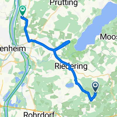
Short route from Söllhuben to the Prien boat dock.
created this 10 years ago
Route quality
Quiet road
7.4 km
(65 %)
Road
2.3 km
(20 %)
Paved
8.7 km
(77 %)
Unpaved
2.6 km
(23 %)
Asphalt
8.7 km
(77 %)
Gravel
2.6 km
(23 %)
Continue with Bikemap
You would like to ride Söllhuben - Prien (Harras-Stock) or customize it for your own trip? Here is what you can do with this Bikemap route:
Free trial for 3 days, or one-time payment. More about Bikemap Premium.
Discover more Premium features.
Get Bikemap PremiumFrom our community
Open it in the app