
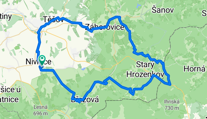
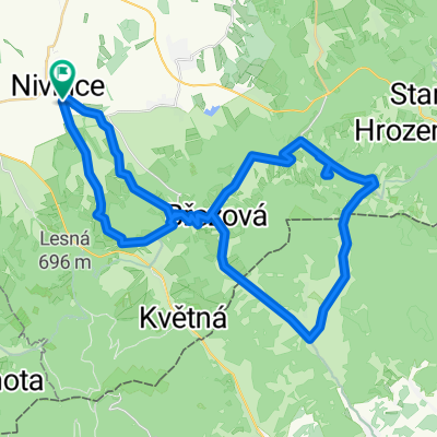
Sraz 2015 čtvrtek dlouhá
A cycling route starting in Nivnice, Zlín, Czechia.
Overview
About this route
Recumbent meeting 2015 Thursday long
- -:--
- Duration
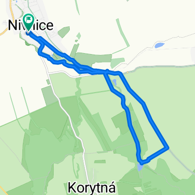
- 68.7 km
- Distance
- 1,008 m
- Ascent
- 1,001 m
- Descent
- ---
- Avg. speed
- ---
- Max. altitude

Route quality
Waytypes & surfaces along the route
Waytypes
Road
38.5 km
(56 %)
Quiet road
10.3 km
(15 %)
Surfaces
Paved
28.2 km
(41 %)
Unpaved
1.4 km
(2 %)
Asphalt
25.4 km
(37 %)
Concrete
2.7 km
(4 %)
Continue with Bikemap
Use, edit, or download this cycling route
You would like to ride Sraz 2015 čtvrtek dlouhá or customize it for your own trip? Here is what you can do with this Bikemap route:
Free features
- Save this route as favorite or in collections
- Copy & plan your own version of this route
- Sync your route with Garmin or Wahoo
Premium features
Free trial for 3 days, or one-time payment. More about Bikemap Premium.
- Navigate this route on iOS & Android
- Export a GPX / KML file of this route
- Create your custom printout (try it for free)
- Download this route for offline navigation
Discover more Premium features.
Get Bikemap PremiumFrom our community
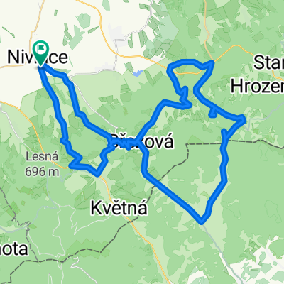
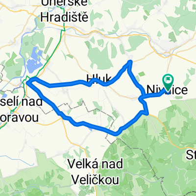
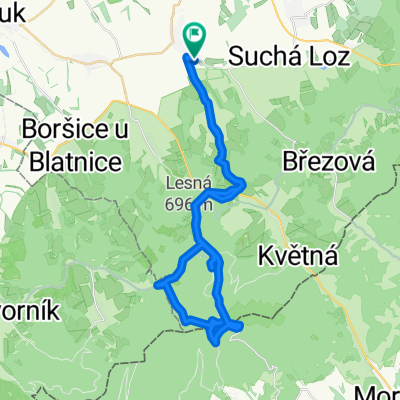
Other popular routes starting in Nivnice
 Vandrácká padesátka aneb tlačit není ostuda
- Distance
- 64 km
- Ascent
- 1,281 m
- Descent
- 1,281 m
- Location
- Nivnice, Zlín, Czechia
 Uherský Ostroh přes Blatničku a Vlčnov z Nivnice CLONED FROM ROUTE 184607
- Distance
- 49 km
- Ascent
- 389 m
- Descent
- 389 m
- Location
- Nivnice, Zlín, Czechia
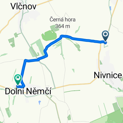
 z Nivnic na Velkou Javorinu
- Distance
- 44.3 km
- Ascent
- 974 m
- Descent
- 976 m
- Location
- Nivnice, Zlín, Czechia
 Cesta do práce
- Distance
- 7.2 km
- Ascent
- 143 m
- Descent
- 97 m
- Location
- Nivnice, Zlín, Czechia
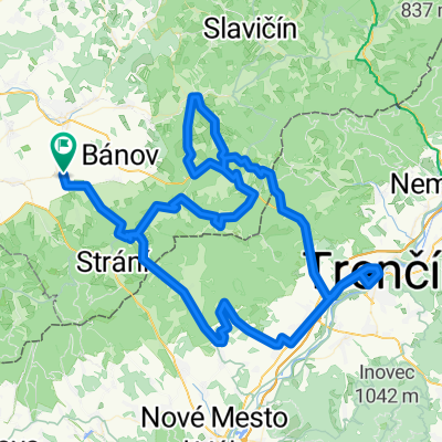 Trenčín přes Zemianske Podhradie, Bojkovice a Vyškovec z Nivnice
- Distance
- 126.6 km
- Ascent
- 1,902 m
- Descent
- 1,631 m
- Location
- Nivnice, Zlín, Czechia
 Vandrácká padesátka 2012
- Distance
- 53.4 km
- Ascent
- 1,013 m
- Descent
- 1,016 m
- Location
- Nivnice, Zlín, Czechia
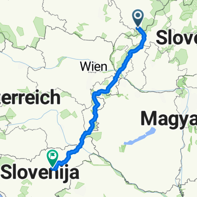 TURA 2020 NAZAJ BREZ HU
- Distance
- 501.8 km
- Ascent
- 1,749 m
- Descent
- 1,747 m
- Location
- Nivnice, Zlín, Czechia
 Nivnice - Pionyrak a na Kopec
- Distance
- 10.8 km
- Ascent
- 165 m
- Descent
- 164 m
- Location
- Nivnice, Zlín, Czechia
Open it in the app