

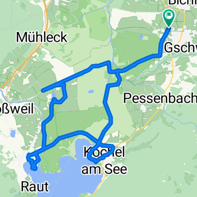
Benediktbeurer Moosrunde
A cycling route starting in Benediktbeuern, Bavaria, Germany.
Overview
About this route
Moosrundweg durch Benediktbeuern, Sindelsdorfer Moos, Zell, Kleinweil, Unterau, Schlehdorf, Kochel am See, Ort, Ried
(cloned from route 580137)- -:--
- Duration
- 27.6 km
- Distance
- 54 m
- Ascent
- 53 m
- Descent
- ---
- Avg. speed
- ---
- Max. altitude
Route quality
Waytypes & surfaces along the route
Waytypes
Track
15.5 km
(56 %)
Quiet road
5.3 km
(19 %)
Surfaces
Paved
16.8 km
(61 %)
Unpaved
9.9 km
(36 %)
Asphalt
15.9 km
(58 %)
Gravel
7.2 km
(26 %)
Continue with Bikemap
Use, edit, or download this cycling route
You would like to ride Benediktbeurer Moosrunde or customize it for your own trip? Here is what you can do with this Bikemap route:
Free features
- Save this route as favorite or in collections
- Copy & plan your own version of this route
- Sync your route with Garmin or Wahoo
Premium features
Free trial for 3 days, or one-time payment. More about Bikemap Premium.
- Navigate this route on iOS & Android
- Export a GPX / KML file of this route
- Create your custom printout (try it for free)
- Download this route for offline navigation
Discover more Premium features.
Get Bikemap PremiumFrom our community
Other popular routes starting in Benediktbeuern
 Prälatenstraße 19, Benediktbeuern nach Prälatenstraße 19, Benediktbeuern
- Distance
- 23.5 km
- Ascent
- 312 m
- Descent
- 317 m
- Location
- Benediktbeuern, Bavaria, Germany
 Benedikbeuern von Kapelle zu Kapelle, Radtour
- Distance
- 25.3 km
- Ascent
- 232 m
- Descent
- 232 m
- Location
- Benediktbeuern, Bavaria, Germany
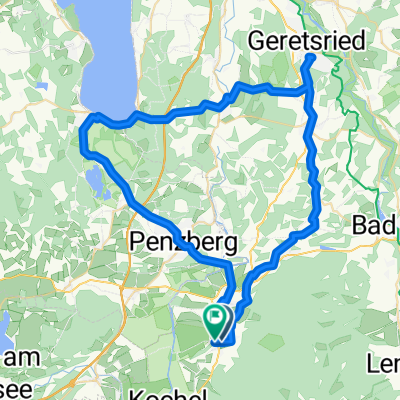 Benediktbeuern - Geretsried - Seeshaupt - Penzberg - Benediktbeuern
- Distance
- 63.1 km
- Ascent
- 375 m
- Descent
- 376 m
- Location
- Benediktbeuern, Bavaria, Germany
 Benediktbeurer Moosrunde
- Distance
- 27.6 km
- Ascent
- 54 m
- Descent
- 53 m
- Location
- Benediktbeuern, Bavaria, Germany
 Kirchen und Kapellen des ehem. Benediktbeurer Klosterlands Nord
- Distance
- 23.3 km
- Ascent
- 160 m
- Descent
- 161 m
- Location
- Benediktbeuern, Bavaria, Germany
 Handbike-Tour Benediktbeuern - Kochelsee (barrierefrei)
- Distance
- 30 km
- Ascent
- 67 m
- Descent
- 65 m
- Location
- Benediktbeuern, Bavaria, Germany
 Walchensee-Jachenrunde
- Distance
- 80.3 km
- Ascent
- 521 m
- Descent
- 524 m
- Location
- Benediktbeuern, Bavaria, Germany
 Benediktenwandrunde 60km
- Distance
- 59.3 km
- Ascent
- 1,730 m
- Descent
- 1,730 m
- Location
- Benediktbeuern, Bavaria, Germany
Open it in the app