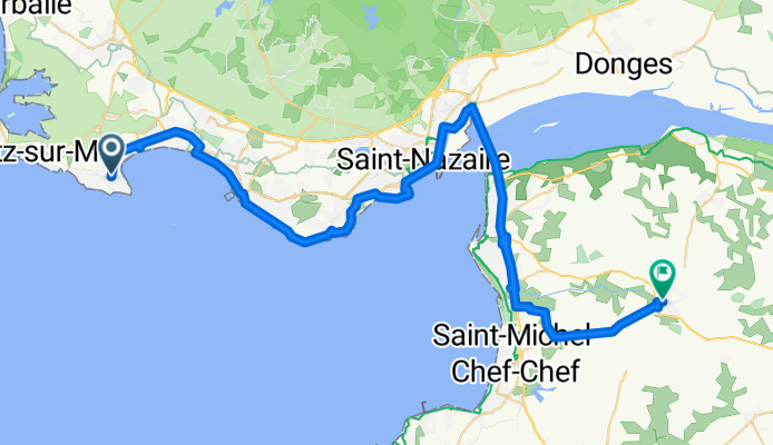
LE POULIGUEN - SAINT PERE EN RETZ
A cycling route starting in Le Pouliguen, Pays de la Loire Region, France.
Overview
About this route
None (cloned from route 1733576)
- -:--
- Duration
- 59 km
- Distance
- 126 m
- Ascent
- 124 m
- Descent
- ---
- Avg. speed
- ---
- Max. altitude
Route quality
Waytypes & surfaces along the route
Waytypes
Cycleway
18.3 km
(31 %)
Road
17.1 km
(29 %)
Surfaces
Paved
40.7 km
(69 %)
Unpaved
0.6 km
(1 %)
Asphalt
40.7 km
(69 %)
Gravel
0.6 km
(1 %)
Undefined
17.7 km
(30 %)
Continue with Bikemap
Use, edit, or download this cycling route
You would like to ride LE POULIGUEN - SAINT PERE EN RETZ or customize it for your own trip? Here is what you can do with this Bikemap route:
Free features
- Save this route as favorite or in collections
- Copy & plan your own version of this route
- Sync your route with Garmin or Wahoo
Premium features
Free trial for 3 days, or one-time payment. More about Bikemap Premium.
- Navigate this route on iOS & Android
- Export a GPX / KML file of this route
- Create your custom printout (try it for free)
- Download this route for offline navigation
Discover more Premium features.
Get Bikemap PremiumFrom our community
Other popular routes starting in Le Pouliguen
- Guerande Turballe
- Distance
- 41.4 km
- Ascent
- 112 m
- Descent
- 110 m
- Location
- Le Pouliguen, Pays de la Loire Region, France
- Itinéraire vers Rue de Keroman, Piriac-sur-Mer
- Distance
- 16.4 km
- Ascent
- 48 m
- Descent
- 42 m
- Location
- Le Pouliguen, Pays de la Loire Region, France
- Bucla Pouliguen-Turballe-Guerande
- Distance
- 49.4 km
- Ascent
- 100 m
- Descent
- 103 m
- Location
- Le Pouliguen, Pays de la Loire Region, France
- De 43 Avenue Claude Monet, Guérande à 4 Place de Boston, Le Croisic
- Distance
- 11.1 km
- Ascent
- 35 m
- Descent
- 31 m
- Location
- Le Pouliguen, Pays de la Loire Region, France
- Itinéraire à partir de 10–12 Boulevard de la Libération, Le Pouliguen
- Distance
- 7.3 km
- Ascent
- 0 m
- Descent
- 3 m
- Location
- Le Pouliguen, Pays de la Loire Region, France
- Le Croisic long
- Distance
- 61.3 km
- Ascent
- 103 m
- Descent
- 101 m
- Location
- Le Pouliguen, Pays de la Loire Region, France
- marais salant
- Distance
- 12 km
- Ascent
- 4 m
- Descent
- 7 m
- Location
- Le Pouliguen, Pays de la Loire Region, France
- 26 Tour des Sables
- Distance
- 19.6 km
- Ascent
- 20 m
- Descent
- 20 m
- Location
- Le Pouliguen, Pays de la Loire Region, France
Open it in the app